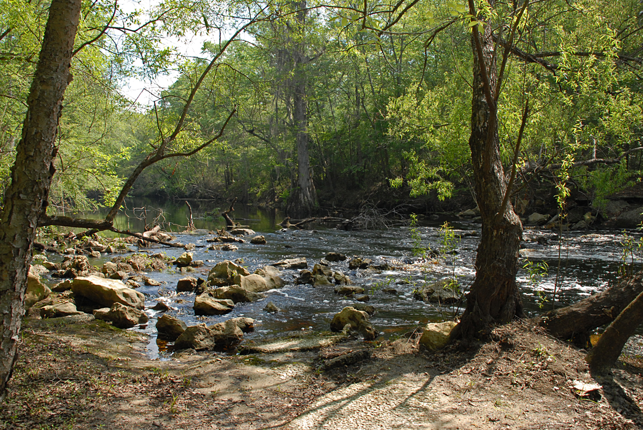
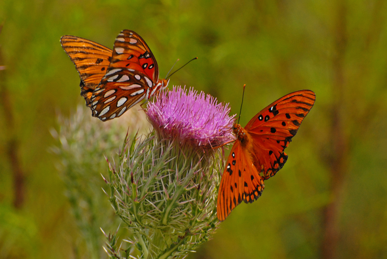
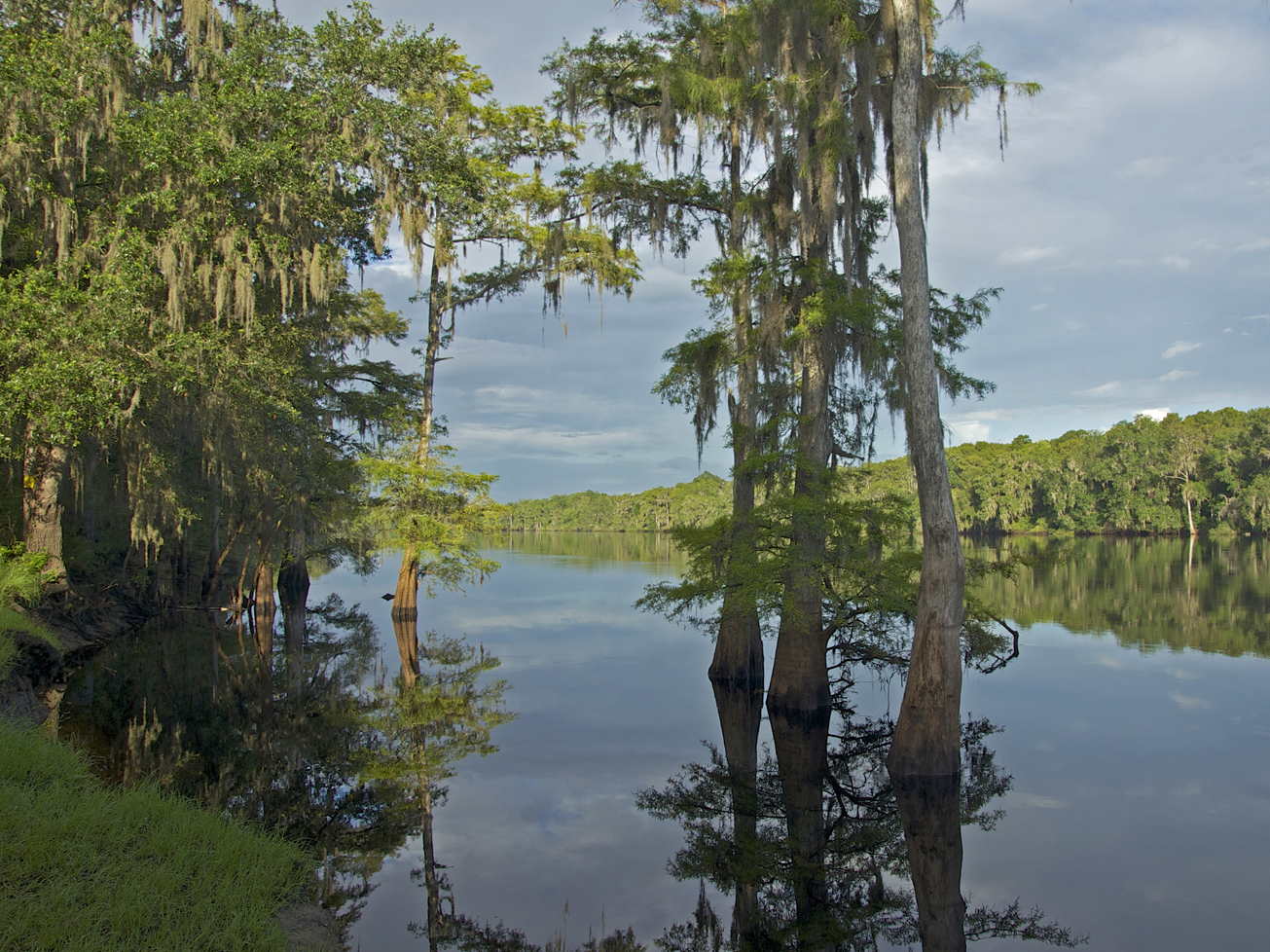
Recreation
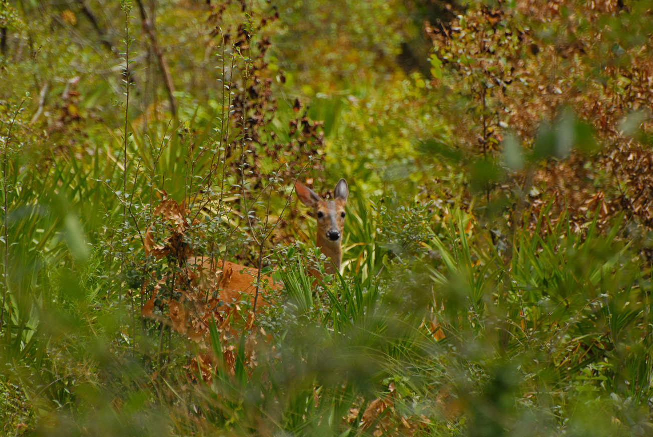
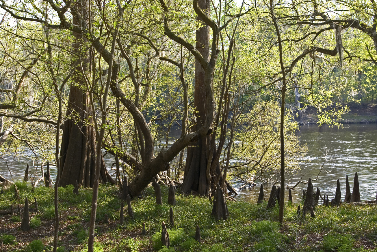
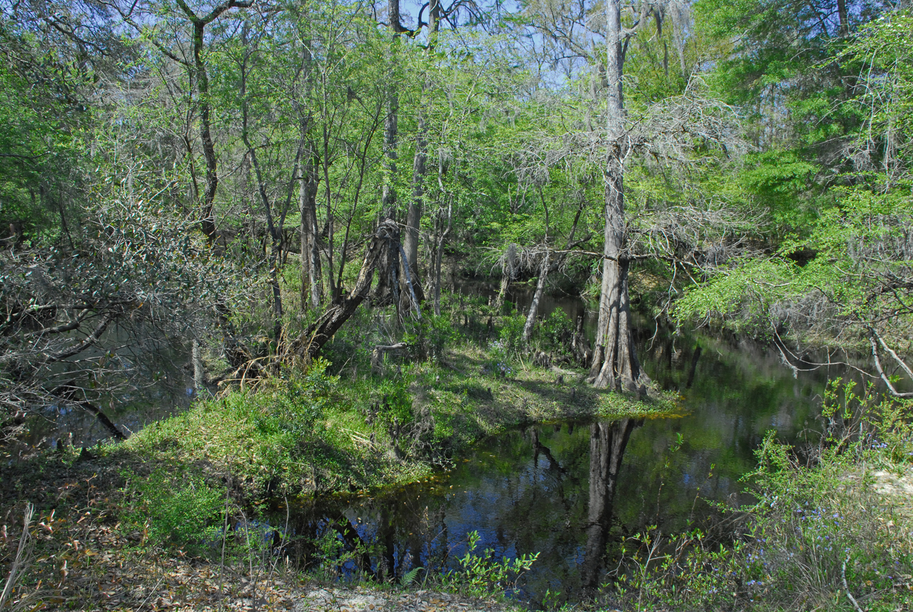
On the Sunnyvale Tract visitors may enjoy hunting, biking, hiking, horseback riding, and wildlife viewing. The tract is part of the Log Landing Wildlife Management Area.
Hunting is allowed in permitted areas only. For more information on hunting, contact the Florida Fish and Wildlife Conservation Commission at:
386-758-0525
Florida Fish and Wildlife Conservation Commission Website
Access
Sunnyvale Tract from Old Town:
Travel south on CR 349, turn left on SE 198th Avenue to the Sunnyvale Tract entrance.
 = Featured
-
 Biking
 -
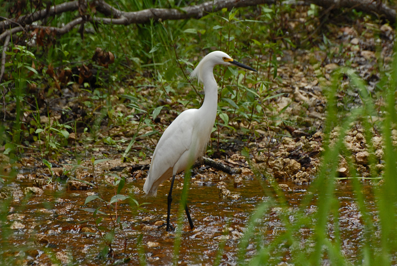
 Bird Watching
 -
 Hiking
 -
 Hunting
 -
 Wildlife Viewing


