Recreation
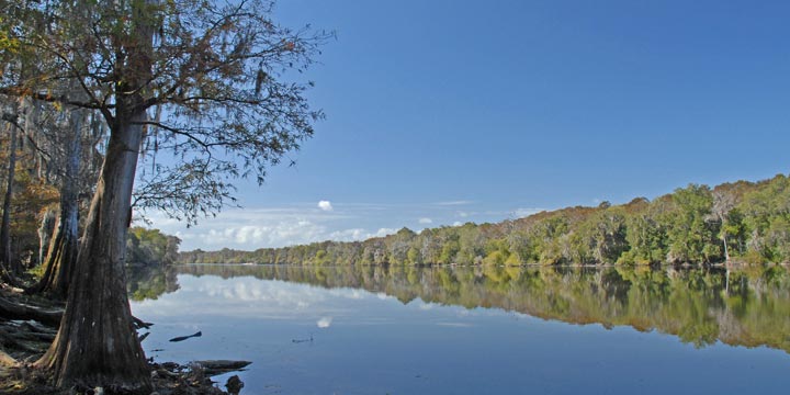
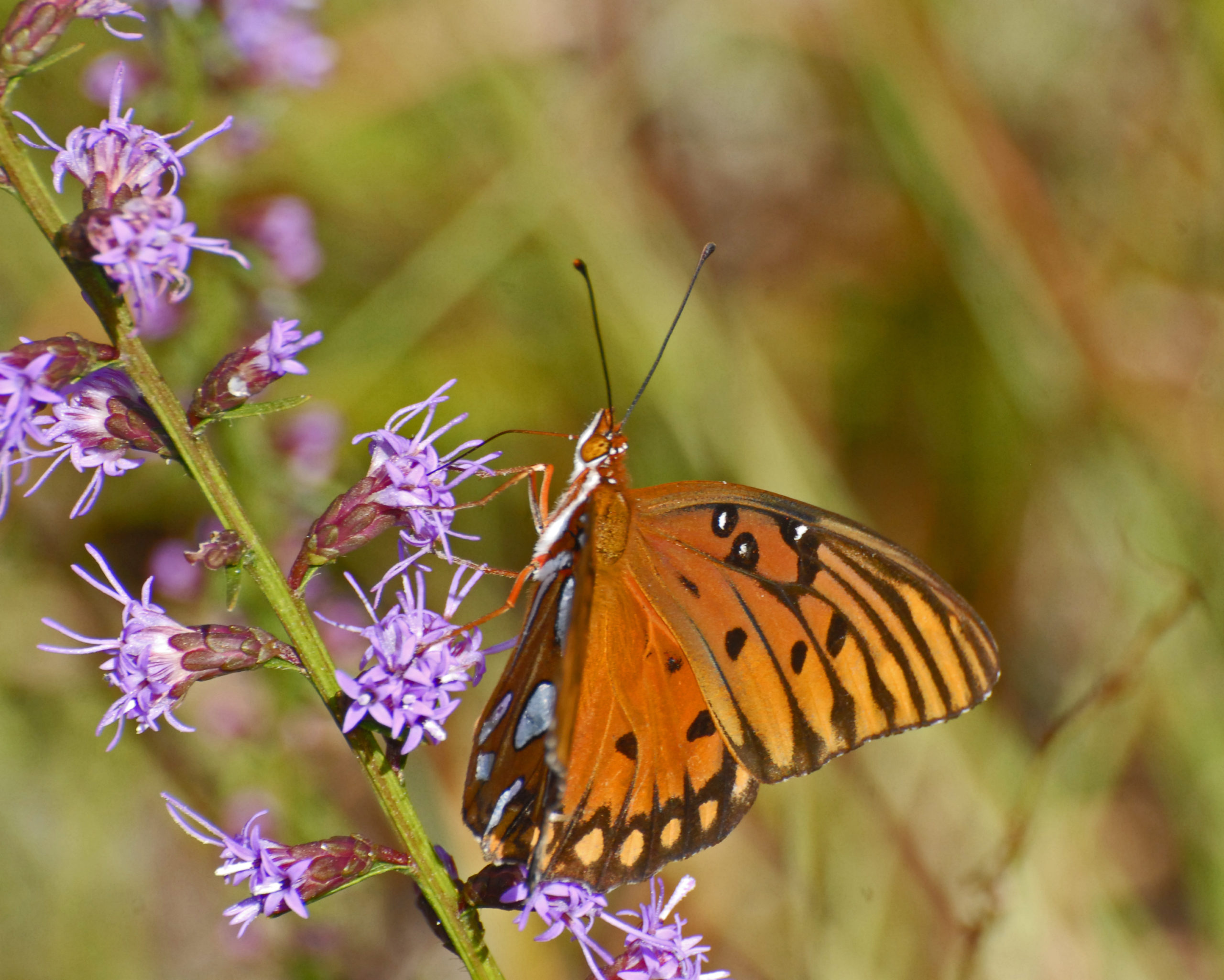
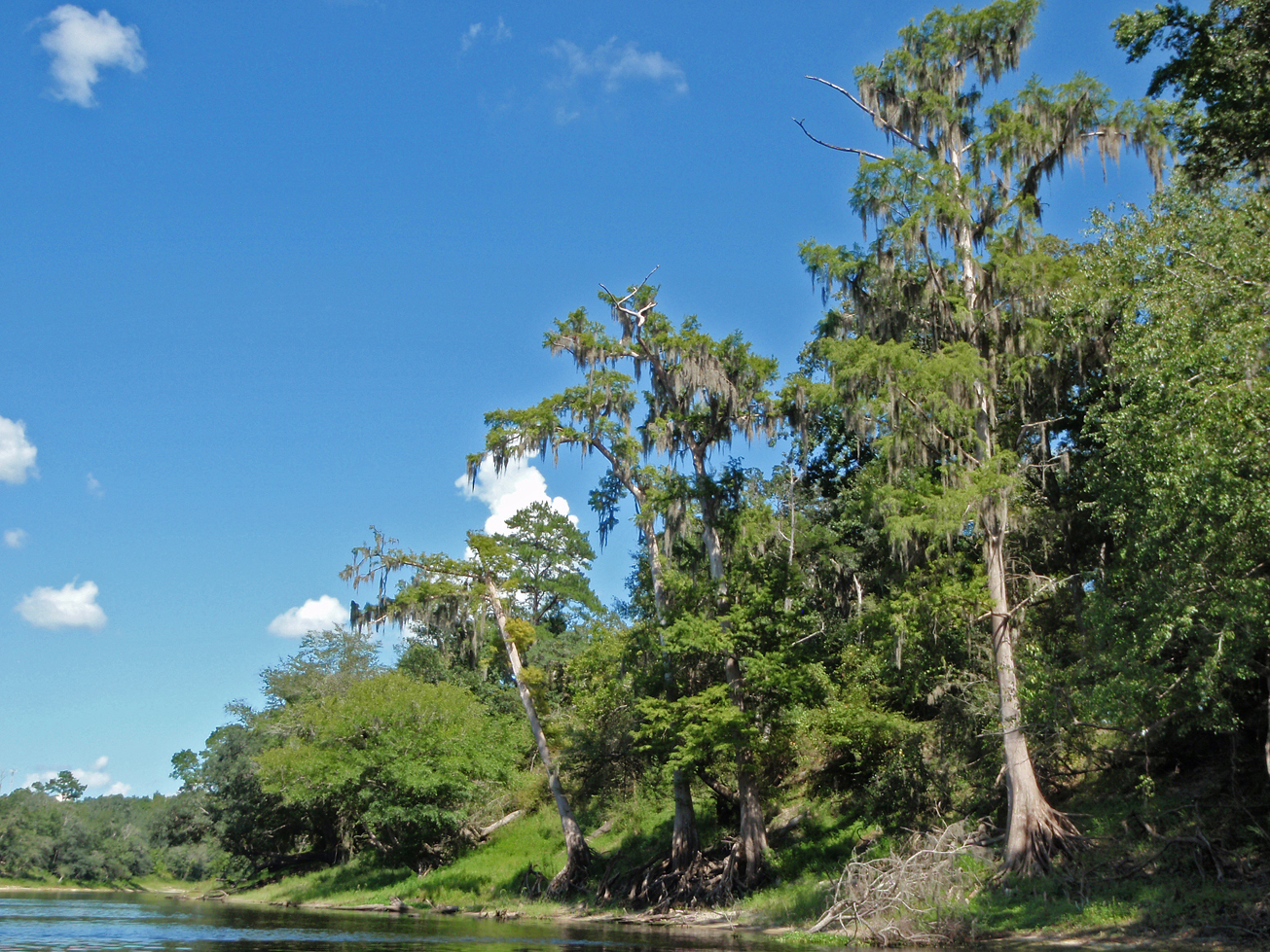
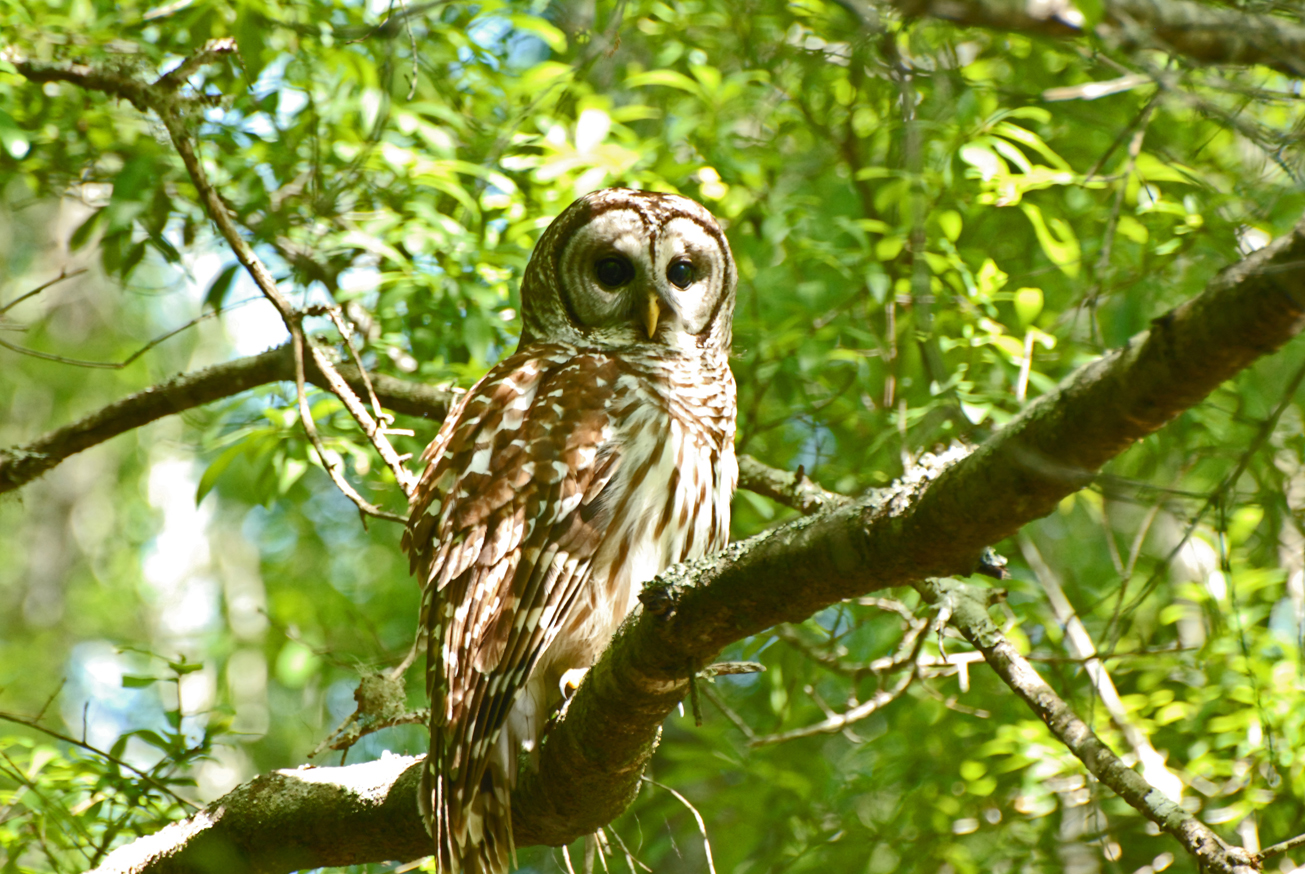
Purvis Landing Tract is part of the Log Landing Wildlife Management Area, visitors may enjoy hiking, and wildlife viewing, in addition to fishing and hunting.
For more information on hunting, contact the Florida Fish and Wildlife Conservation Commission at:
386-758-0525
Florida Fish and Wildlife Conservation Commission Website
Note: Hunting is allowed in permitted areas only.
Access
Purvis Landing Tract from Old Town:
Travel north on SR 349, turn right on Purvis Landing Road; travel 1 mile and the tract is on the right.
 = Featured
-
 Bird Watching
 -
 Fishing
 -
 Hiking
 -
 Hunting
 -
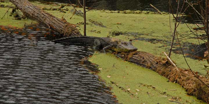
 Wildlife Viewing


