Recreation
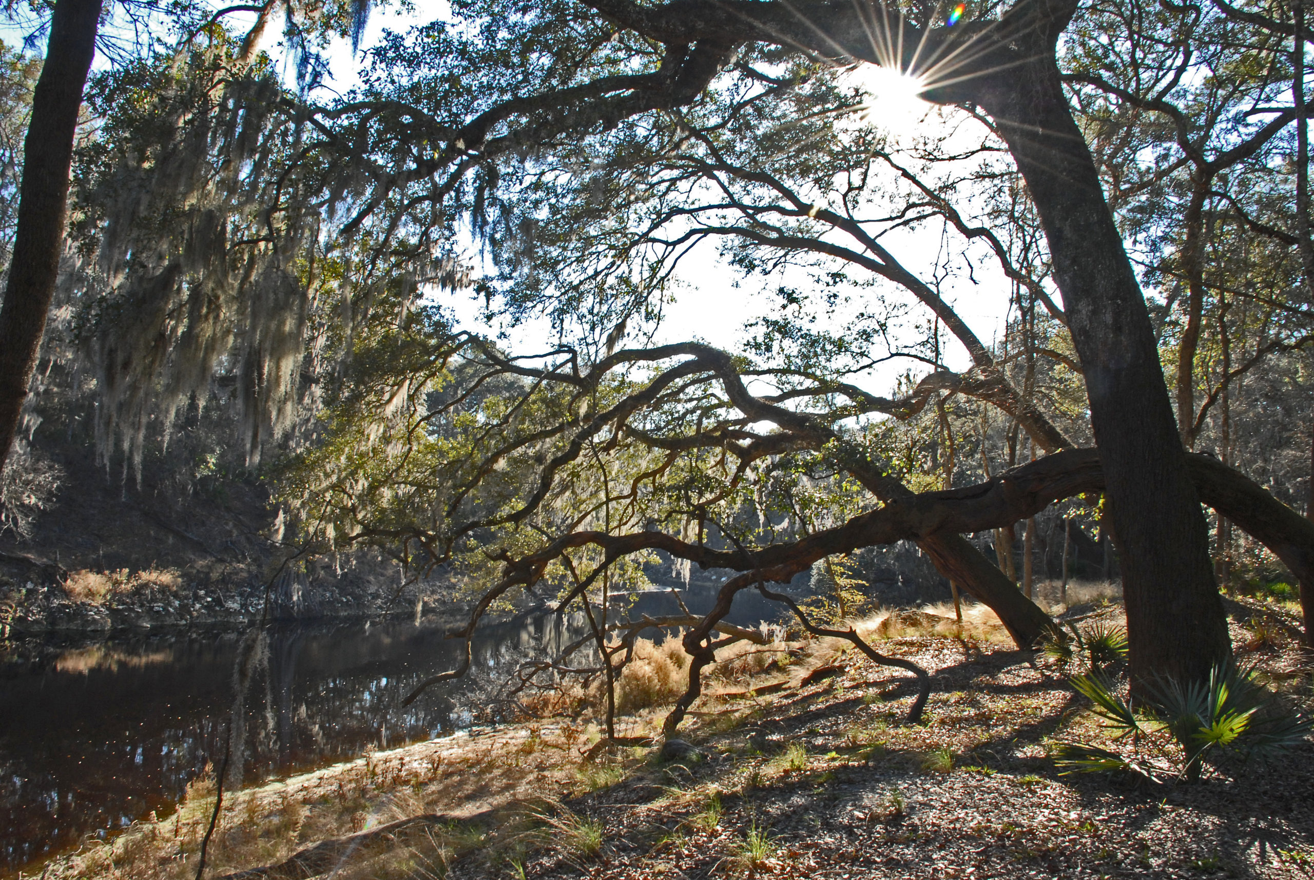
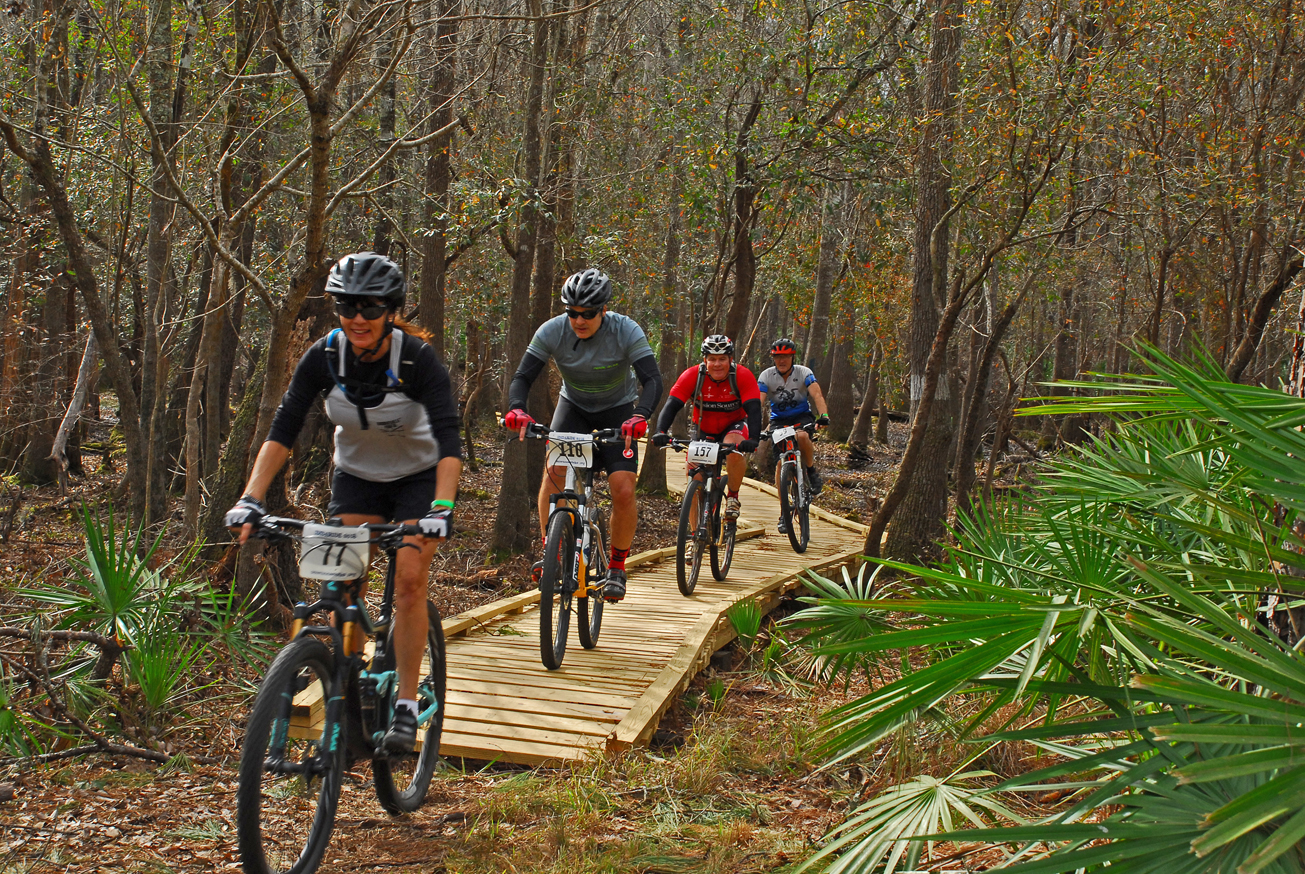
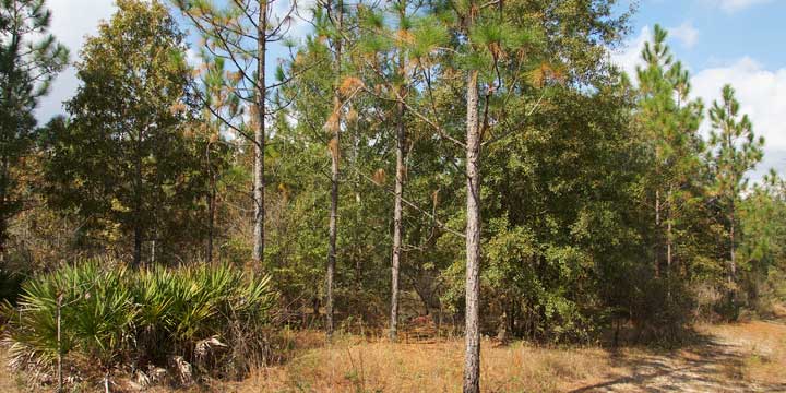
On this tract, visitors may enjoy fishing, as well as biking, hiking, horseback riding, and wildlife viewing on administrative roads.
The Jennings Bluff tract has a canoe launch and part of The Great Florida Birding Trail.
Alapaha River
The 202-mile-long Alapaha River is a tributary of the Suwannee River flowing through South Georgia and North Florida with three tributaries the Willacoochee, Alapahoochee and Little Alapaha Rivers. The final twenty-five miles in North Florida is an intermittent river during periods of low volume. Most of the water disappears underground into swallets in the river bed and a “blind valley” and becomes a subterranean river approximately 2.3 miles below Jennings, FL.
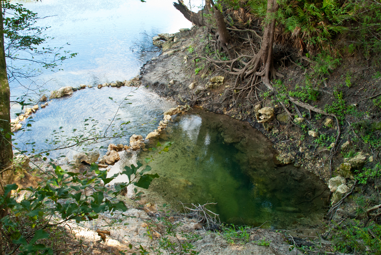
Dead River
A major swallet is at the terminus of the blind valley known as the Dead River and Dead River Sink. Blind valleys are karst features where surface water is diverted from a river and flows into a channel to a swallet or sinkhole recharging the aquifer. The Dead River is a distributary of the Alapaha where the water flows upstream to the Dead River Sink and disappears into an opening in the rock wall. During extreme low water conditions, the Dead River may be dry.
A dye trace study conducted in 2016 by the District and Florida Geological Survey introduced dye into the Dead River Sink, six days later it appeared in Holton Creek Rise and Alapaha Rise ten miles to the south. Both flow into the Suwannee River.
Cody Escarpment (Cody Scarp) traverses the southwest corner of the tract. The Cody Scarp is a geomorphologic formation that runs across north and central Florida. It approximates an ancient shoreline of Florida from a time when sea levels were much higher. The Cody Scarp represents the largest continuous topographic break in Florida. For more information about the Cody Scarp, visit mysuwanneeriver.com.
Access
Jennings Bluff tract from Jasper:
Travel north on US 41, turn right on NW 25th Lane; travel approximately 2 miles east and the entrance is on the left.
 Fishing
  Hiking
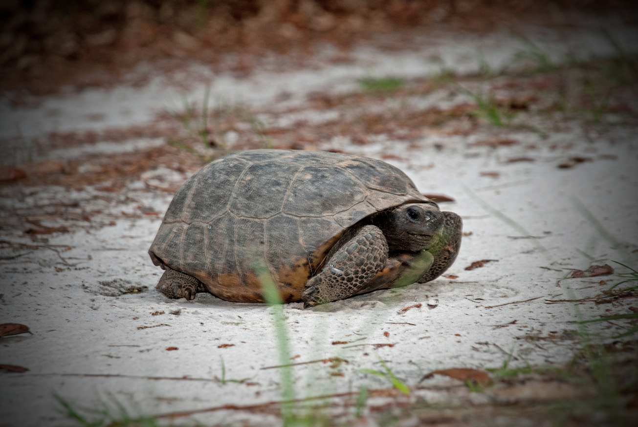
  Wildlife Viewing
  = Featured


