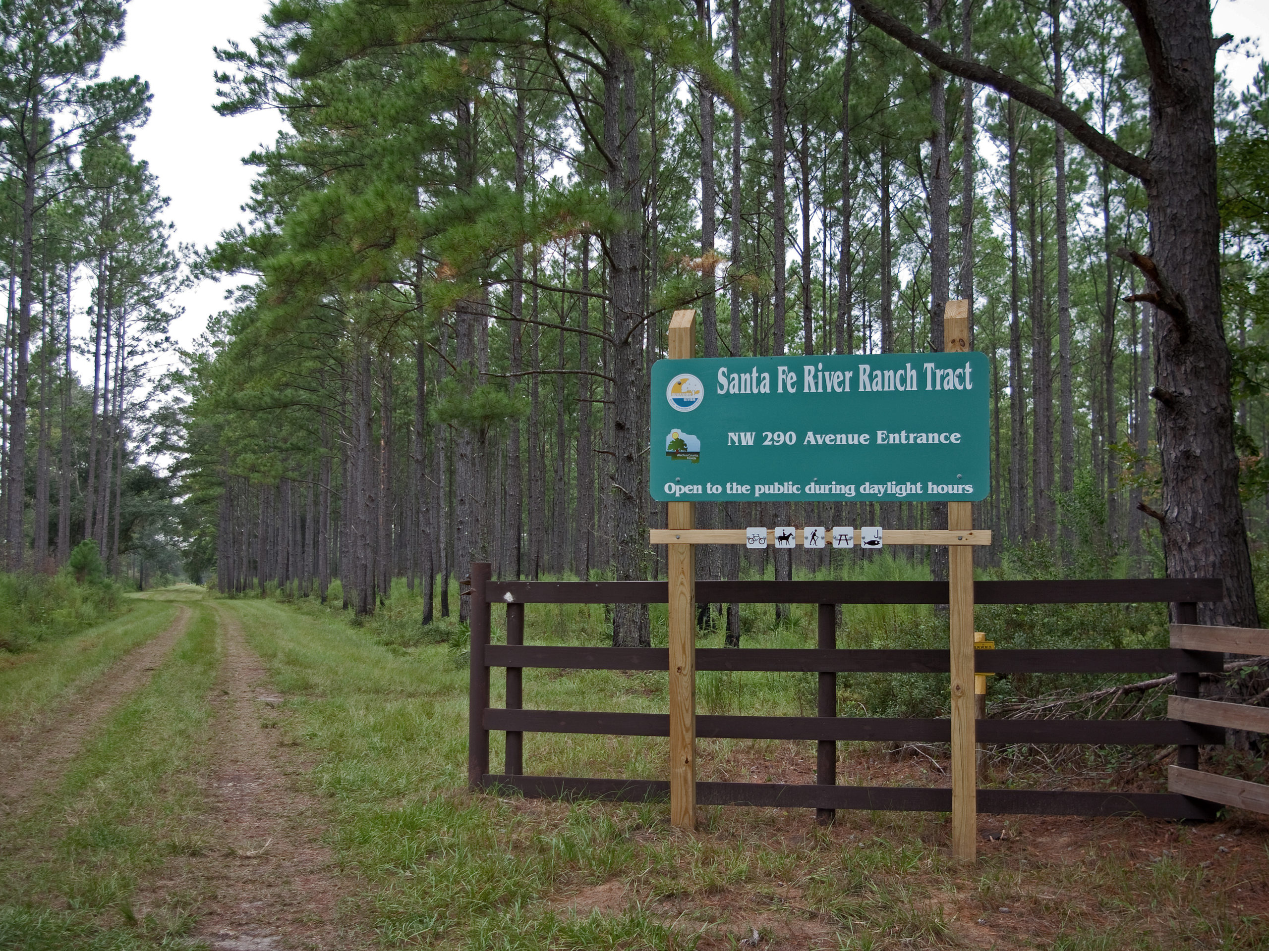
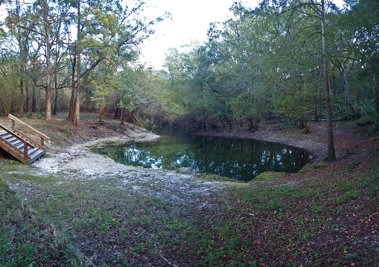
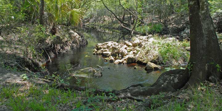
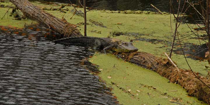
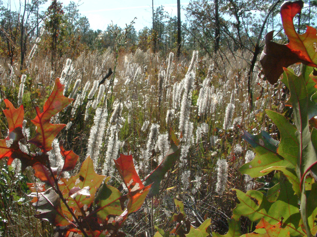
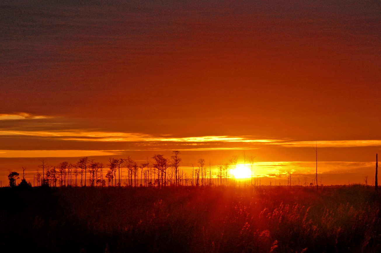
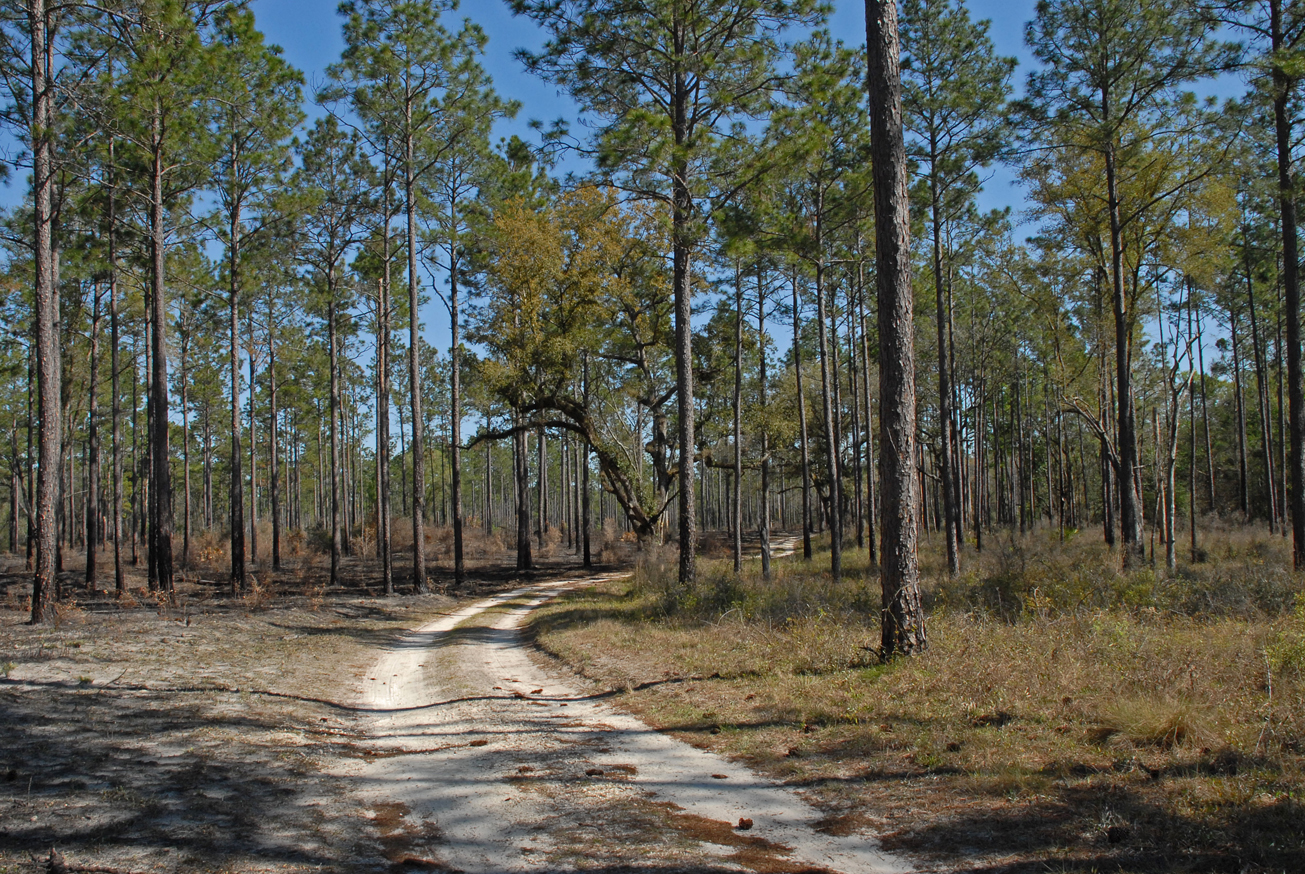
View Tract Details

SANTA FE SWAMP

Recreation

The Santa Fe Swamp Tract, part of the Santa Fe Swamp Wildlife and Environmental Area, visitors may enjoy biking, hiking, horseback riding, and wildlife viewing, in addition to hunting.

Hunting is allowed in permitted areas only. For more information on hunting, contact the Florida Fish and Wildlife Conservation Commission at:

386-758-0525
Florida Fish and Wildlife Conservation Commission Website

Access
Santa Fe Swamp tract from Starke:
The eastside entrance travel east on SR 100 to SE 11th Avenue, turn right and the entrance to Santa Fe Swamp is .5 miles on the left.

Santa Fe Swamp tract from Gainesville:
The west entrance travel northeast on SR 26 to US 301, turn left and travel to CR 1471, turn right travel 5.25 miles and the tract first entrance is on the right.

View Tract Details

SANTA FE SWAMP

Recreation

The Santa Fe Swamp Tract, part of the Santa Fe Swamp Wildlife and Environmental Area, visitors may enjoy biking, hiking, horseback riding, and wildlife viewing, in addition to hunting.

Hunting is allowed in permitted areas only. For more information on hunting, contact the Florida Fish and Wildlife Conservation Commission at:

386-758-0525
Florida Fish and Wildlife Conservation Commission Website

Access
Santa Fe Swamp Tract from Starke:
The eastside entrance travel east on SR 100 to SE 11th Avenue, turn right and the entrance to Santa Fe Swamp is .5 miles on the left.

Santa Fe Swamp Tract from Gainesville:
The west entrance travel northeast on SR 26 to US 301, turn left and travel to CR 1471, turn right travel 5.25 miles and the tract first entrance is on the right.

View Tract Details

ROLINE

Recreation
On Roline Tract, visitors may enjoy fishing as well as biking, hiking, horseback riding, and wildlife viewing. Hunting is allowed on the tract, which is part of the Cypress Creek Wildlife Management Area. This tract also has a canoe launch.

Hunting is allowed in permitted areas only. For more information on hunting, contact the Florida Fish and Wildlife Conservation Commission at:

386-758-0525
Florida Fish and Wildlife Conservation Commission Website

Access
Roline Tract from White Springs:
Travel north on CR 135, cross CR 6. Continue north on 180th Boulevard 5 miles, turn right on NE 25th Way to the parking area at the boat ramp.

View Tract Details

SANTA FE RIVER RANCH

Recreation
Visitors may enjoy fishing, as well as biking, hiking, horseback riding, and wildlife viewing on administrative roads.

Access
Santa Fe River Ranch Tract from Alachua:
Travel northeast on CR 235 to CR 121; turn left and travel to NW 290th Avenue; turn left and the tract entrance is at the end of the road.

View Tract Details

RUTH SPRINGS

Recreation
Visitors may enjoy biking, hiking, horseback riding, and wildlife viewing on administrative roads, in addition to fishing, small game, and turkey hunting at the Ruth Springs Tract, which is part of the Troy Springs Wildlife Management Area. Visitors may also enjoy swimming at Lafayette County’s Ruth Springs Park, located within the tract. Canoes, kayaks, and small boats may be hand launched from the Ruth Springs Launch.

For more information on hunting, contact the Florida Fish and Wildlife Conservation Commission at:

386-758-0525
Florida Fish and Wildlife Conservation Commission Website


Note: Hunting is allowed in permitted areas only.


Access
Ruth Springs Tract from Branford:
Travel west on US 27, turn right on NE CR 421; travel north 1 mile and the Ruth Springs tract entrance is on the right. Access from Mayo: Travel east on US 27, turn left on NE CR 421; travel 1 mile and the entrance is on the right.

View Tract Details

NATURAL WELL BRANCH

Recreation
On the Natural Well Branch Tract, visitors may enjoy fishing, as well as biking, hiking, horseback riding, and wildlife viewing. Many of the river access points provide excellent fishing opportunities.

The Econfina River traverses the tract from the north boundary to the southern boundary.  The river’s 239-square mile basin drains part of the Big Bend Region.  Its headwaters in San Pedro Bay the Econfina River’s character changes dramatically as it winds 44-miles through upland forests and meanders downstream to the palm-fringed salt marshes of the Gulf of Mexico.

The name “Econfina” derives from the Creek ekana, which means “earthy”, and feno, which means “bridge” or “foot log”. This name may refer to a natural bridge over the river in the Natural Well Branch Tract.

Access

South end of the tract from Perry:
Travel west on US 98, veer right on Salt Road; travel 3.5 miles and the tract is on the right. Cross the river, turn right on Ralph Whiddon Road; travel north .5 mile and the tract is on the right.

View Tract Details

MOUNT GILEAD

Recreation
On the Mt. Gilead Tract, visitors may enjoy biking, hiking, horseback riding, scenic viewing, and wildlife viewing, in addition to fishing and hunting. Many of the river access points provide launches for canoes, kayaks, or small boats.

Mt. Gilead is part of the Middle Aucilla Wildlife Management Area. Hunting is allowed in permitted areas only. For more information on hunting, contact the Florida Fish and Wildlife Conservation Commission at:

386-758-0525
Florida Fish and Wildlife Conservation Commission Website

Access
Mt. Gilead Tract from Monticello:
Travel south on CR 257 to Lamont, cross U.S. 19; travel 9 miles south crossing the Aucilla River, turn left on Rocky Ford Cemetery Road; travel 2 miles and the entrance is on the left.

View Tract Details

MATTAIR SPRINGS

Recreation
Mattair Springs has two marked horse trails. The perimeter trail is marked with white diamonds and the interior trail is marked with yellow diamonds; the blue diamonds are a shortcut back to the parking area.

Visitors may also enjoy biking, hiking, and wildlife viewing on administrative roads and designated trails.

Access
Mattair Springs tract from Live Oak:
Travel north on US 129, turn right on CR 136A; travel east 1 mile to 85th Road; travel north 1 mile, turn right on 75th Drive. The entrance to the Mattair Springs tract is approximately 1 mile on the left.

Size
Mattair Springs – 1,188 acres

View Tract Details

MANATEE SPRINGS STATE PARK

Recreation
The Manatee Springs State Park Tract is managed by the Florida Department of Environmental Protection as part of Manatee Springs State Park. Visitors may enjoy biking, hiking, horseback riding, and wildlife viewing. Usher Landing is used to launch boats as well as parking, picnicking, and fishing

For more information contact Manatee Springs State Park:

352-493-6072

Manatee Springs State Park

Access
Manatee Springs State Park Tract:
Access is managed by Manatee Springs State Park

Manatee Springs State Park Tract from Chiefland:

Travel west on CR 320, turn left on NW 107th Terrace; at the 90° right turn the road becomes NW 132nd Place; travel 3 miles and the entrance is on the right.

View Tract Details

MANATEE SPRINGS SOUTH

Recreation
On Manatee Springs Tract visitors may enjoy biking, hiking, horseback riding, and wildlife viewing.

Access
Manatee Springs South Tract from Chiefland:
Travel west on CR 320, turn left on NW 107th Terrace; at the 90° right turn the road becomes NW 132nd Place; travel 2.5 miles and the entrance is on the left.