Note: Hunting is allowed in permitted areas only.
Recreation
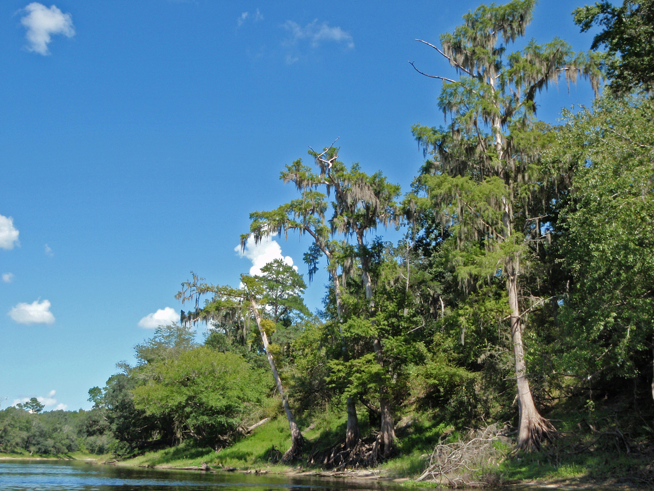
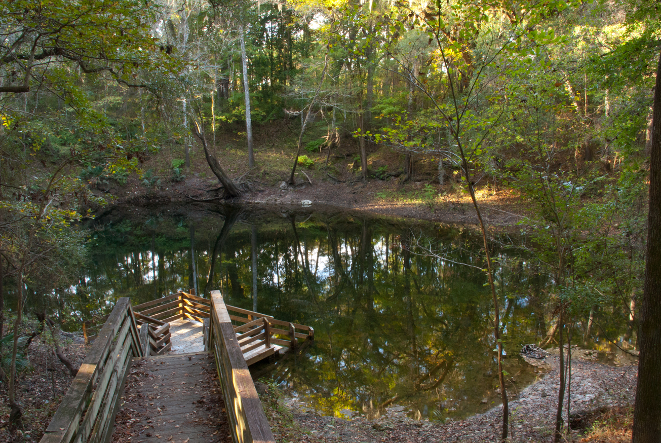
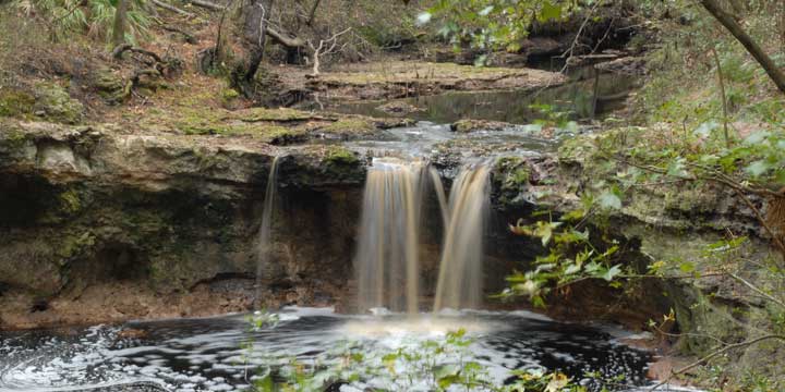
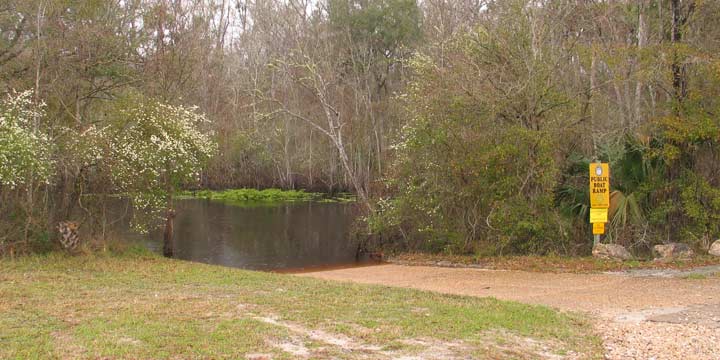
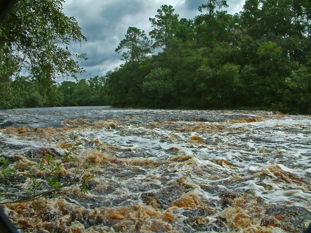
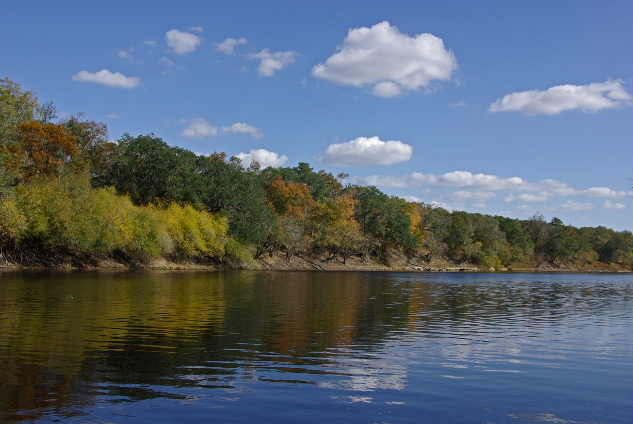
Mill Creek North is part of Twin Rivers State Forest, visitors may enjoy biking, hiking, horseback riding, and wildlife viewing on administrative roads, in addition to fishing and hunting. For more information, call or visit:
386-208-1460
Florida Department of Agriculture and Consumer Services Website
For more information on hunting, contact the Florida Fish and Wildlife Conservation Commission at:
386-758-0525
Florida Fish and Wildlife Conservation Commission Website
The Florida National Scenic Trail traverses the Mill Creek North tract before exiting the Suwannee region and heading west.
Access
Mill Creek North from Madison:
Travel east on US 90 to SE River Road , turn right; travel south 4 miles and the entrance is on the left. Continue south 2 miles on SE River Road and Mill Creek North is on the left.
 = Featured
-
 Biking
 -
 Bird Watching
 -
 Equestrian Trailhead
 -
 Fishing
 -
 Hiking
 -
 Hunting
 -
 Parking
 -
 Picnic Area
 -
 Scenic Viewing
 -
 Wildlife Viewing


