Recreation
Rock Bluff Springs is a part of J. H. Anderson, Jr. Memorial Park owned by the Suwannee River Water Management District and managed by Alachua Conservation Trust. Visitors may enjoy swimming, picnicking, hiking and wildlife viewing.
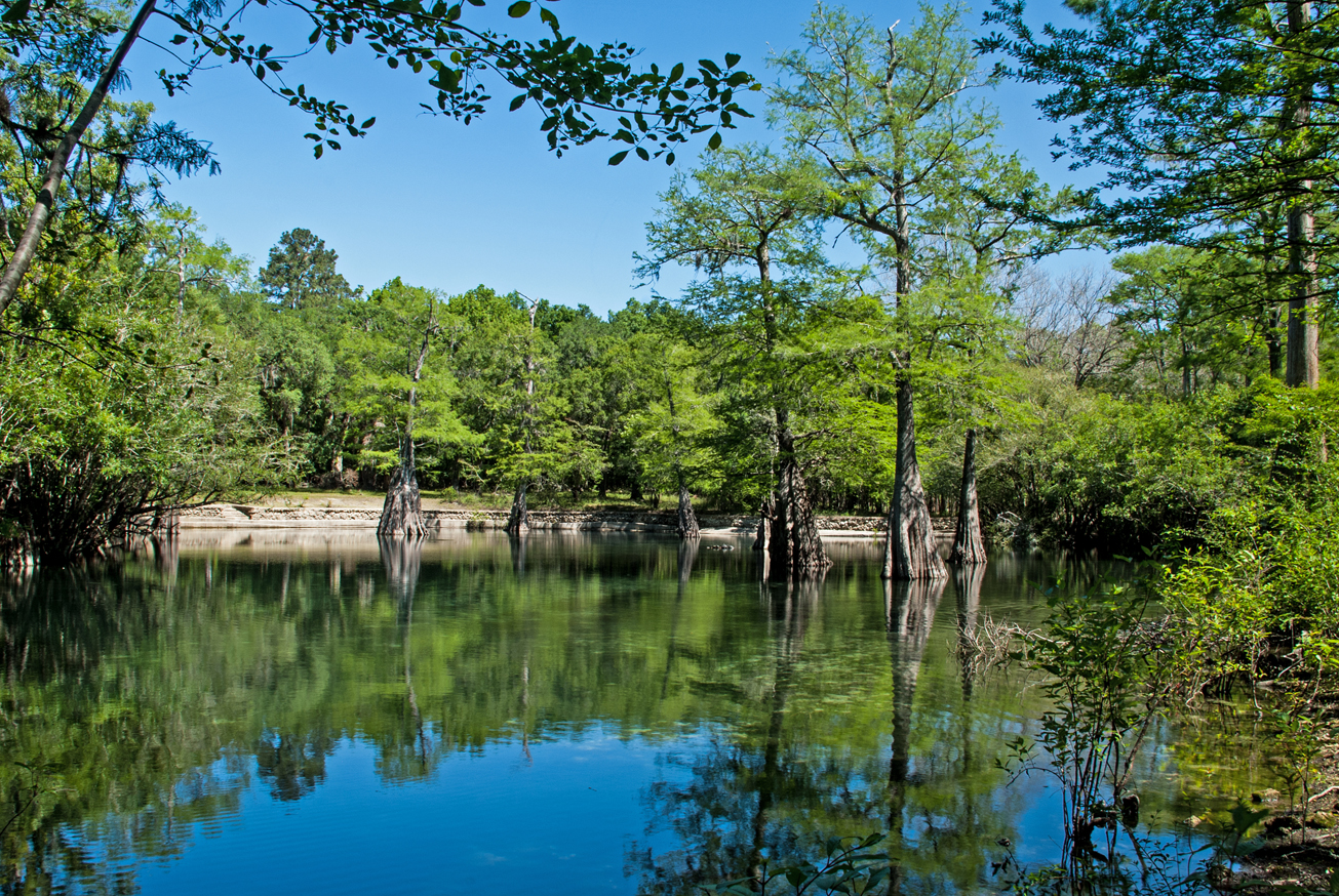
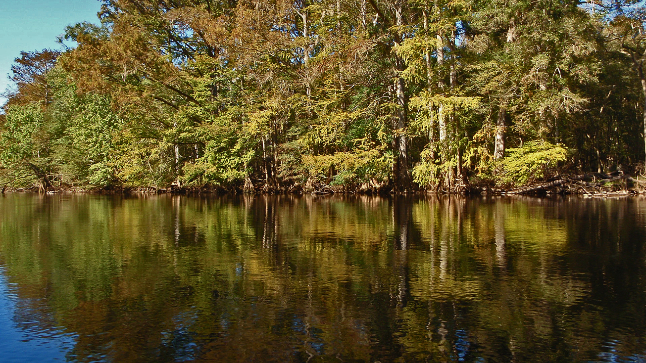
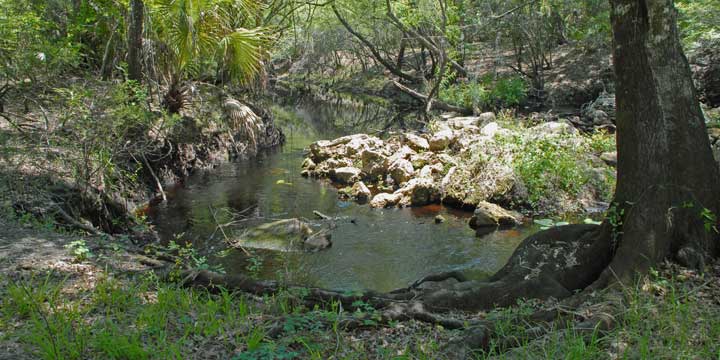
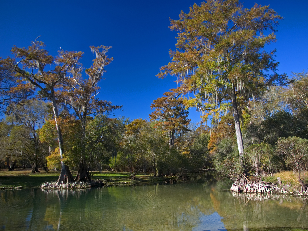
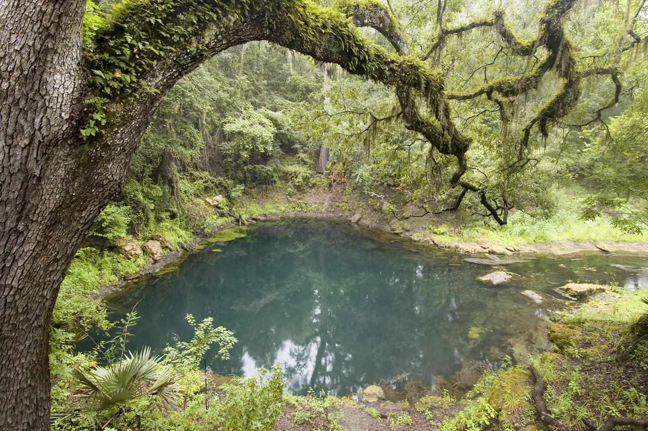
Rock Bluff Springs is a second magnitude spring with a short spring run out to the Suwannee River. The spring has multiple openings from the aquifer and ringed with cypress trees around the edge.
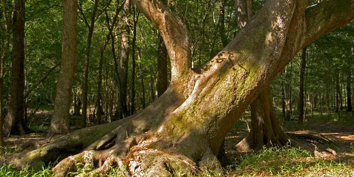
A half mile trail carves through the upland hardwood forest where visitors have an opportunity to explore some of the features adjacent to the spring.
Access
Rock Bluff Springs – J. H. Anderson, Jr. Memorial Park from Bell:
Travel north 3 miles on US 129, turn left on CR 340, go west 3 miles and the Park entrance is on the right.
Address: 6560 NW CR 340, Bell, FL
 = Featured
-
 Biking
 -
 Bird Watching
 -
 Hiking
 -
 Parking
 -
 Picnic Area
 -
 Restroom
 -
 Scenic Viewing
 -
 Swimming
 -
 Wildlife Viewing


