Recreation
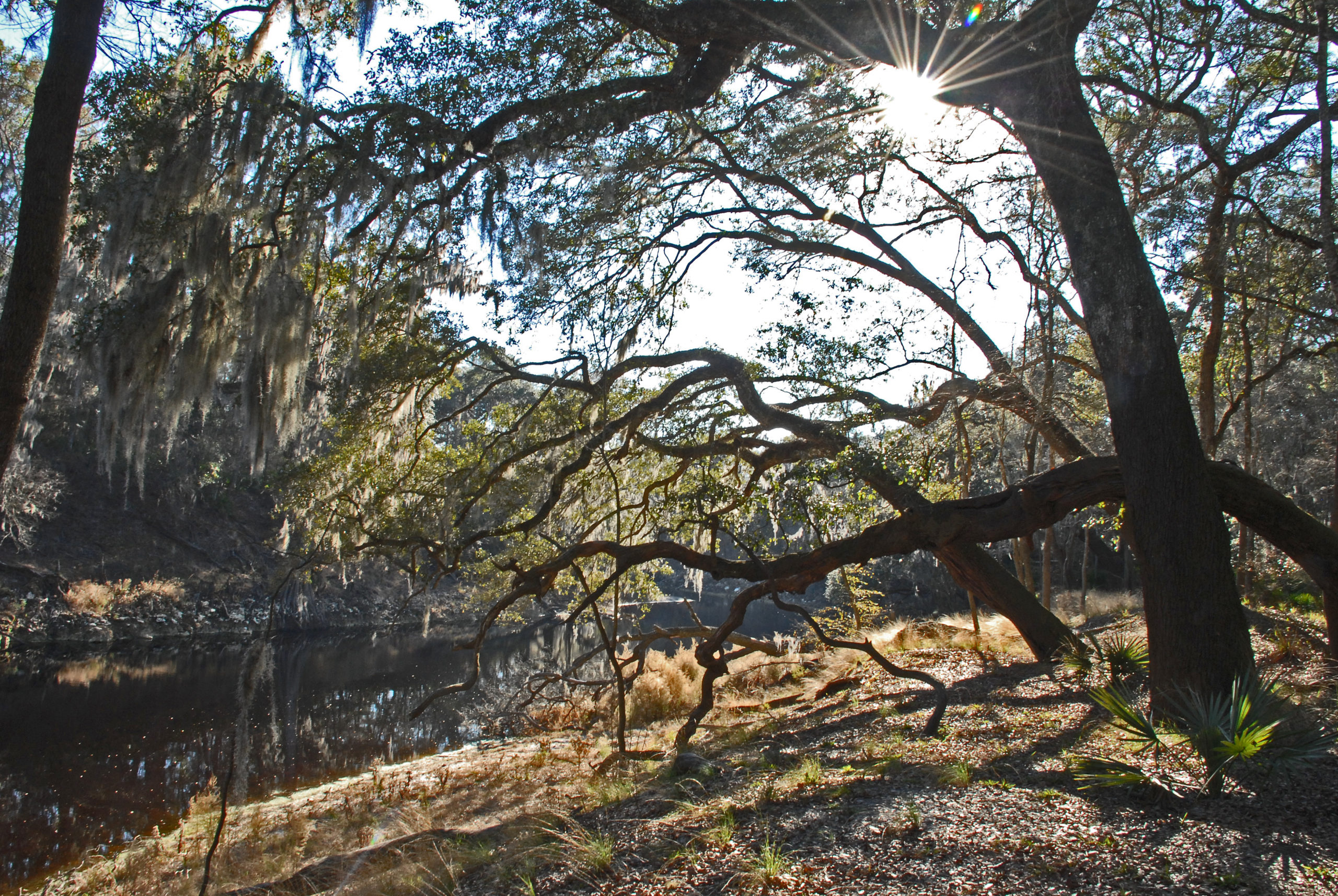
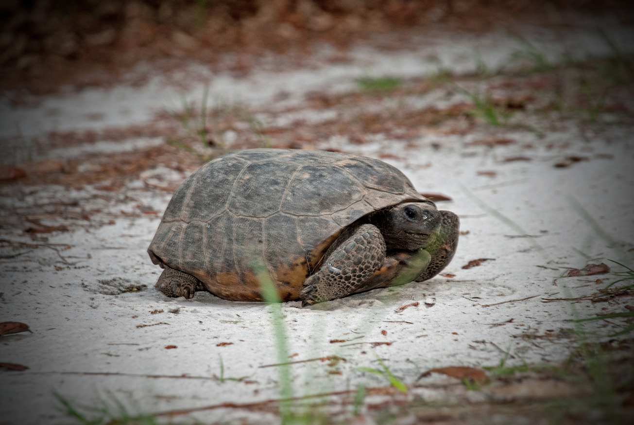
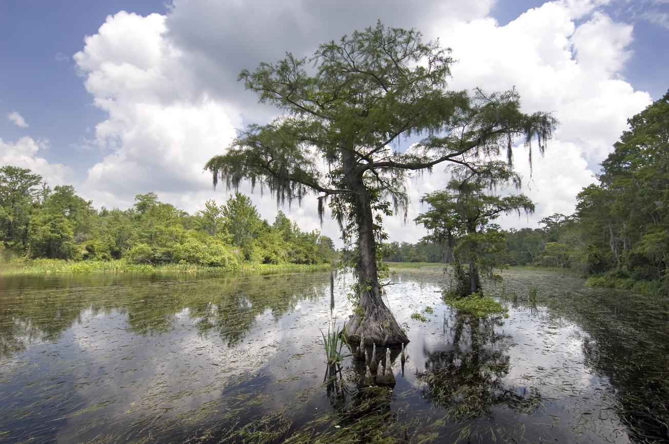
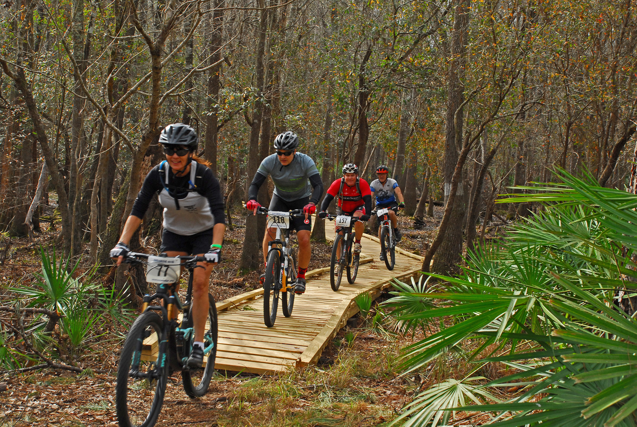
The Lamont Tract, visitors may enjoy biking, hiking, horseback riding scenic viewing and wildlife viewing, in addition to fishing and hunting. Many of the river access points provide launches for canoes or small boats.
Lamont is part of the Middle Aucilla Wildlife Management Area. Hunting is allowed in permitted areas only. For more information on hunting, contact the Florida Fish and Wildlife Conservation Commission at:
386-758-0525
Florida Fish and Wildlife Conservation Commission Website
Access
Lamont Tract from Monticello:
Travel south on CR 257 to Lamont, cross U.S. 19; travel 3 miles to Lanier Grade, turn left and travel 0.75 miles, turn right on an Herndon Landing Road; travel 0.25 miles to the tract entrance.
 = Featured
-
 Biking
 -
 Bird Watching
 -
 Boat Ramp
 -
 Fishing
 -
 Hiking
 -
 Horseback Riding
 -
 Hunting
 -
 Scenic Viewing
 -
 Wildlife Viewing


