View Tract Details

STEINHATCHEE SPRINGS

Recreation
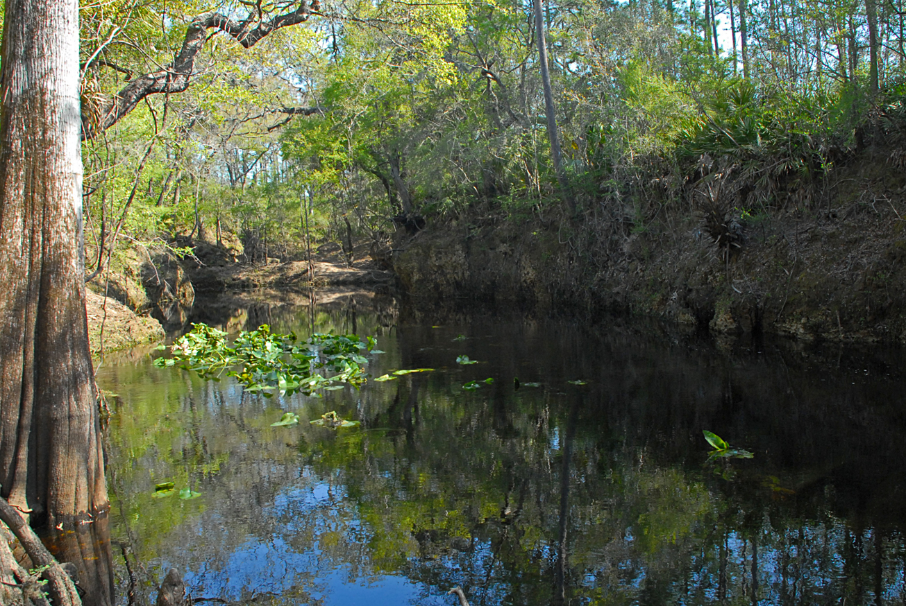
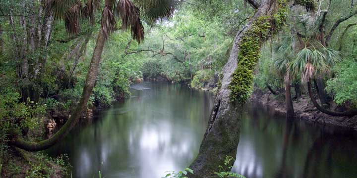
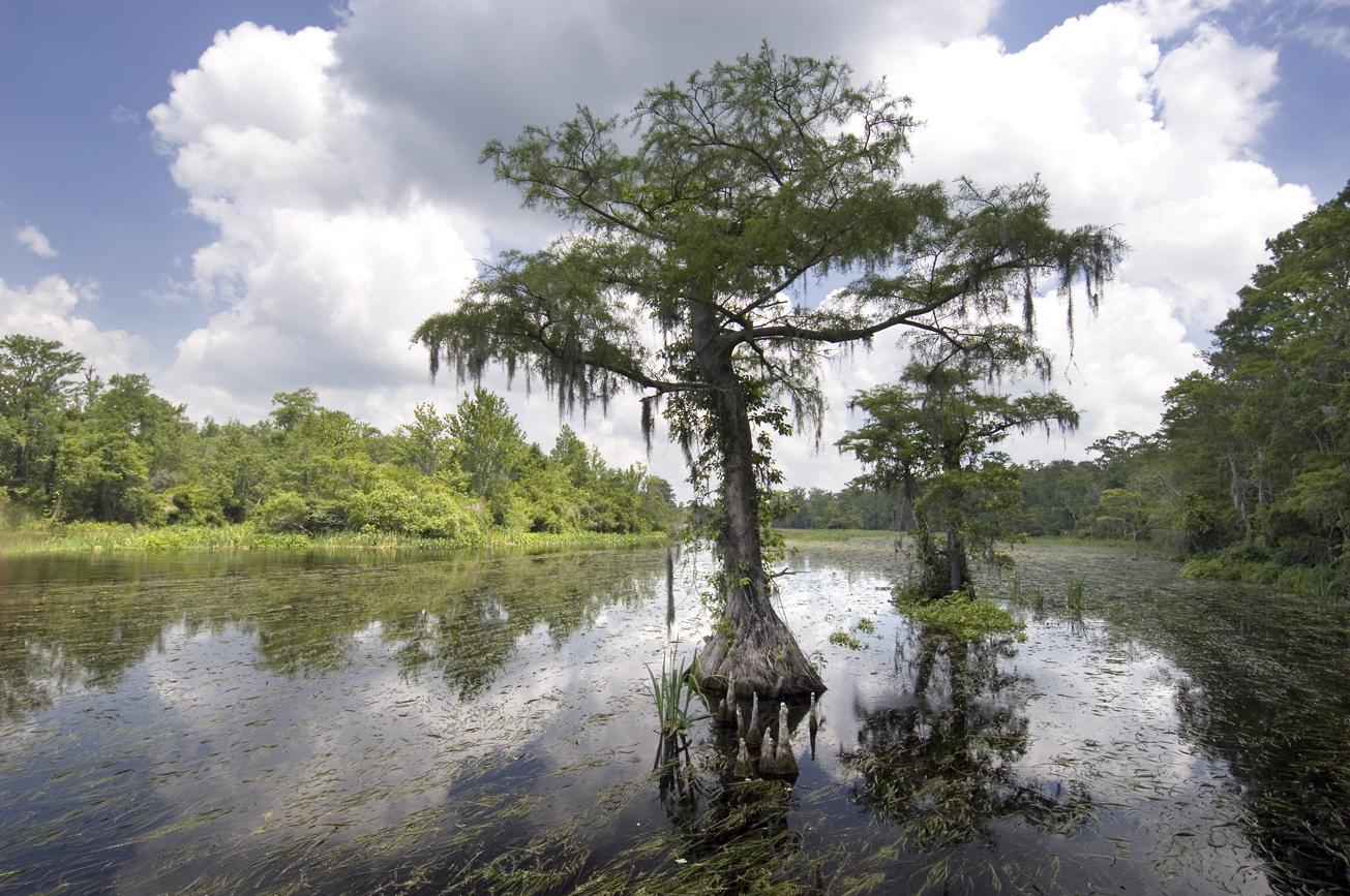
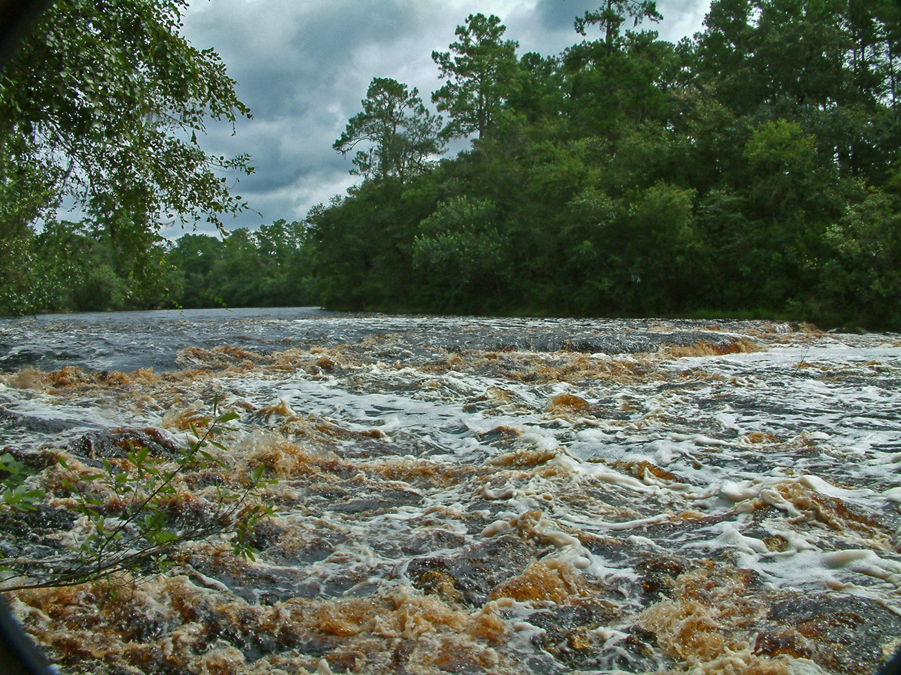
Steinhatchee Springs Tract is part of the Steinhatchee Springs Wildlife Management Area, visitors may enjoy biking, hiking, horseback riding, and wildlife viewing on administrative roads, in addition to fishing and hunting. Canoes, kayaks, and small boats may launch at some of the river access points.

For more information on hunting, contact the Florida Fish and Wildlife Conservation Commission at:

386-758-0525
Florida Fish and Wildlife Conservation Commission Website

Note: Hunting is allowed in permitted areas only.

Access
Steinhatchee Springs Tract from Mayo:
Travel south on SR 51 and the tract is on the left side of the road; continue 1.5 miles south and the tract is on both sides of the road.

View Tract Details

STEINHATCHEE SPRINGS

Note: Hunting is allowed in permitted areas only.

Recreation
On this primitive tract, which is part of the Steinhatchee Springs Wildlife Management Area, visitors may enjoy biking, hiking, horseback riding, and wildlife viewing on administrative roads, in addition to fishing and hunting.

For more information on hunting, contact the Florida Fish and Wildlife Conservation Commission at:

386-758-0525
Florida Fish and Wildlife Conservation Commission Website

Access
Steinhatchee Springs tract from Mayo:
Travel south on SR 51 and the tract is on the left side of the road; continue 1.5 miles south and the tract is on both sides of the road.

Size
Steinhatchee Springs – 20,909 acres

View Tract Details

JONES MILL CREEK

Recreation
On the Jones Mill Creek Tract visitors may enjoy biking, hiking, horseback riding, scenic viewing, and wildlife viewing, in addition to fishing and hunting. Many of the river access points provide launches for canoes or small boats.

Jones Mill Creek is part of the Aucilla Wildlife Management Area. Hunting is allowed in permitted areas only. For more information on hunting, contact the Florida Fish and Wildlife Conservation Commission at:

850-265-3676
Florida Fish and Wildlife Conservation Commission Website
Aucilla Bird List (PDF)

Access
Jones Mill Creek Tract:
Travel 22 miles west on US 98 to Powell Hammock Road, turn right; travel north 4 miles, turn left on Goose Pasture Road; Continue west on Goose Pasture Road 1.25 miles, turn right on Jerkins Mainline Road and the tract is on the right.

View Tract Details

GOOSE PASTURE

Recreation
Visitors may enjoy biking, hiking, horseback riding, and wildlife viewing on administrative roads, in addition to fishing and hunting.

The Goose Pasture tract is a part of the Aucilla Wildlife Management Area. For more information on hunting, contact the Florida Fish and Wildlife Conservation Commission at:

850-265-3676
Florida Fish and Wildlife Conservation Commission Website
Aucilla Bird List (PDF)

Note: Hunting is only allowed in permitted areas.


Camping Area
The primitive camping area is open on a first-come, first-served basis by self-issued special use authorization, which is available at the kiosk. Campers are limited to a 10-day stay. Camping is not allowed during general gun season. The group camping area can be reserved for groups of six or more by contacting the District at:

386-362-1001
800-226-1066 (FL only)
Email Recreation


Access
Goose Pasture tract from Perry:
Travel 22 miles west on US 98 to Powell Hammock Road, turn right; travel north 4 miles, turn left on Goose Pasture Road; travel west 2.75 miles and the tract is on both sides of the road. Continue traveling west 1 mile and the road ends at Goose Pasture Campground.

View Tract Details

DEVIL’S HAMMOCK

Recreation
Public use is managed by the Levy County. Visitors may enjoy biking, hiking, horseback riding, and wildlife viewing on administrative roads, in addition fishing and hunting. A picnic pavilion is available at the river camp.

352-486-5127

Levy County

Hunting is allowed in permitted areas only. For more information on hunting, contact the Florida Fish and Wildlife Conservation Commission at:

386-758-0525
Florida Fish and Wildlife Conservation Commission Website

Access
Devil’s Hammock Tract from Bronson:
Travel west on SR 24 and the tract is on the right. There are four entrances into the property: the Southwest Trailhead, Parker Field, River Camp, and the Hunter Check Station.

View Tract Details

ANDREWS

Recreation

The tract is managed by the Florida Fish and Wildlife Conservation Commission as part of the Andrews Wildlife Management Area. A daily use permit is required to enter unless you have purchased a Management Area Permit. To hunt or fish you must also possess the appropriate license and permit . Visitors may enjoy hunting, biking, hiking, horseback riding, bird watching, and wildlife viewing.

For more information on hunting and other recreational activities, contact the Florida Fish and Wildlife Conservation Commission at:

386-758-0525
Florida Fish and Wildlife Conservation Commission Website


Access
Andrews Tract from Fanning Springs:
Travel south on US 19 to NW 160th Street, turn right; travel west approximately 1 mile to the Andrews Wildlife Management Area.

View Tract Details

BIG SHOALS PUBLIC LANDS

Big Shoals Public Land is owned by three agencies Florida Department of Environmental Protection (Big Shoals State Park), Florida Forest Service (Big Shoals State Forest), Suwannee River Water Management District and managed as Big Shoals Public Lands. For information on Big Shoals State Park and Big Shoals State Forest contact:

386-397-4331

Big Shoals State Park Website

386-208-1460

Big Shoals State Forest Website

Recreation
Big Shoals offers 28 miles of trails, including the paved multi-purpose Woodpecker Trail, and a canoe launch for the outdoor enthusiast. Here you can view the only stretch of major whitewater rapids in Florida.

Visitors may enjoy biking, hiking, horseback riding, and wildlife viewing on administrative roads. Hunting is allowed on the Big Shoals tract, which is part of the Big Shoals Wildlife Management Area.

For more information on hunting, contact the Florida Fish and Wildlife Conservation Commission at:

386-758-0525
Florida Fish and Wildlife Conservation Commission Website

Note: Hunting is allowed in permitted areas only.


Access
Big Shoals Public Lands from White Springs:
Travel north from White Springs on CR 135 and turn right into the Little Shoals entrance or continue 2 miles north on CR 135 and turn right on SE 94th Street (Old Goodwin Bridge Road), which ends at the second entrance into Big Shoals Public Lands.


View Tract Details

BIG SHOALS PUBLIC LANDS

Big Shoals Public Land is owned by three agencies Florida Department of Environmental Protection (Big Shoals State Park), Florida Forest Service (Big Shoals State Forest), Suwannee River Water Management District and managed as Big Shoals Public Lands. For information on Big Shoals State Park and Big Shoals State Forest contact:

386-397-4331

Big Shoals State Park Website
386-208-1460

Big Shoals State Forest Website
Recreation
Big Shoals offers 28 miles of trails, including the paved multi-purpose Woodpecker Trail, and a canoe launch for the outdoor enthusiast. Here you can view the only stretch of major whitewater rapids in Florida.

Visitors may enjoy biking, hiking, horseback riding, and wildlife viewing on administrative roads. Hunting is allowed on the Big Shoals tract, which is part of the Big Shoals Wildlife Management Area.

For more information on hunting, contact the Florida Fish and Wildlife Conservation Commission at:

386-758-0525
Florida Fish and Wildlife Conservation Commission Website
Note: Hunting is allowed in permitted areas only.

Access
Big Shoals Public Lands from White Springs:
Travel north from White Springs on CR 135 and turn right into the Little Shoals entrance or continue 2 miles north on CR 135 and turn right on SE 94th Street (Old Goodwin Bridge Road), which ends at the second entrance into Big Shoals Public Lands.