.
Recreation
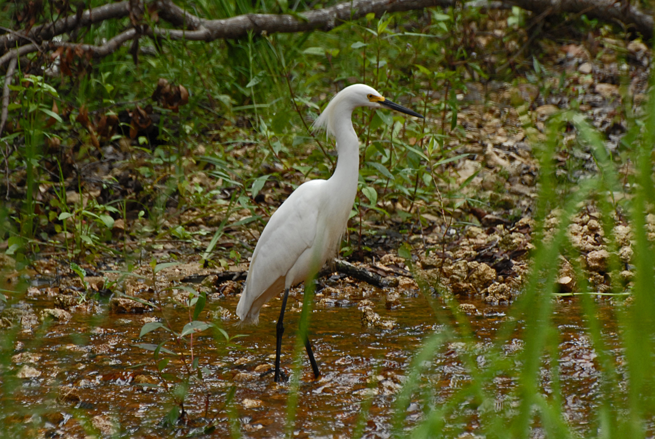
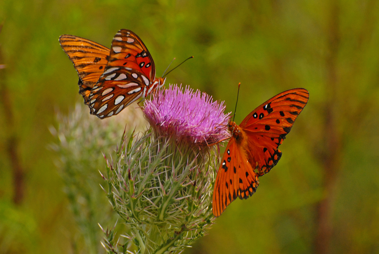
Visitors may enjoy biking, hiking, horseback riding, and wildlife viewing. roads, in addition to fishing and hunting. Many of the river access points provide launches for canoes or small boats.
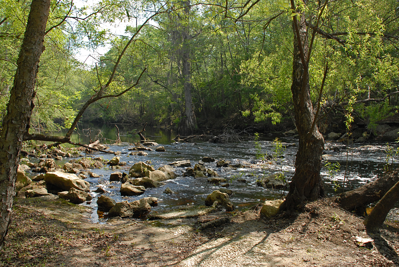
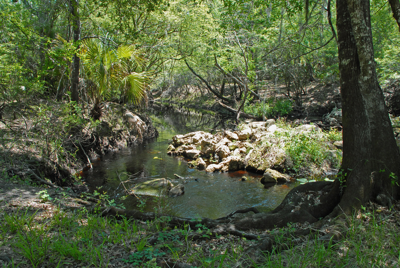
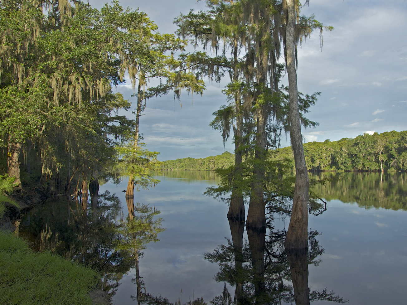
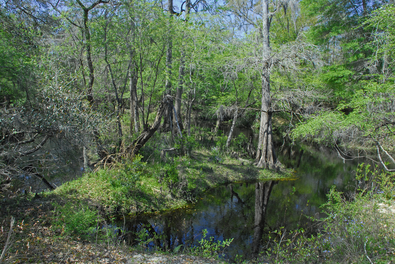
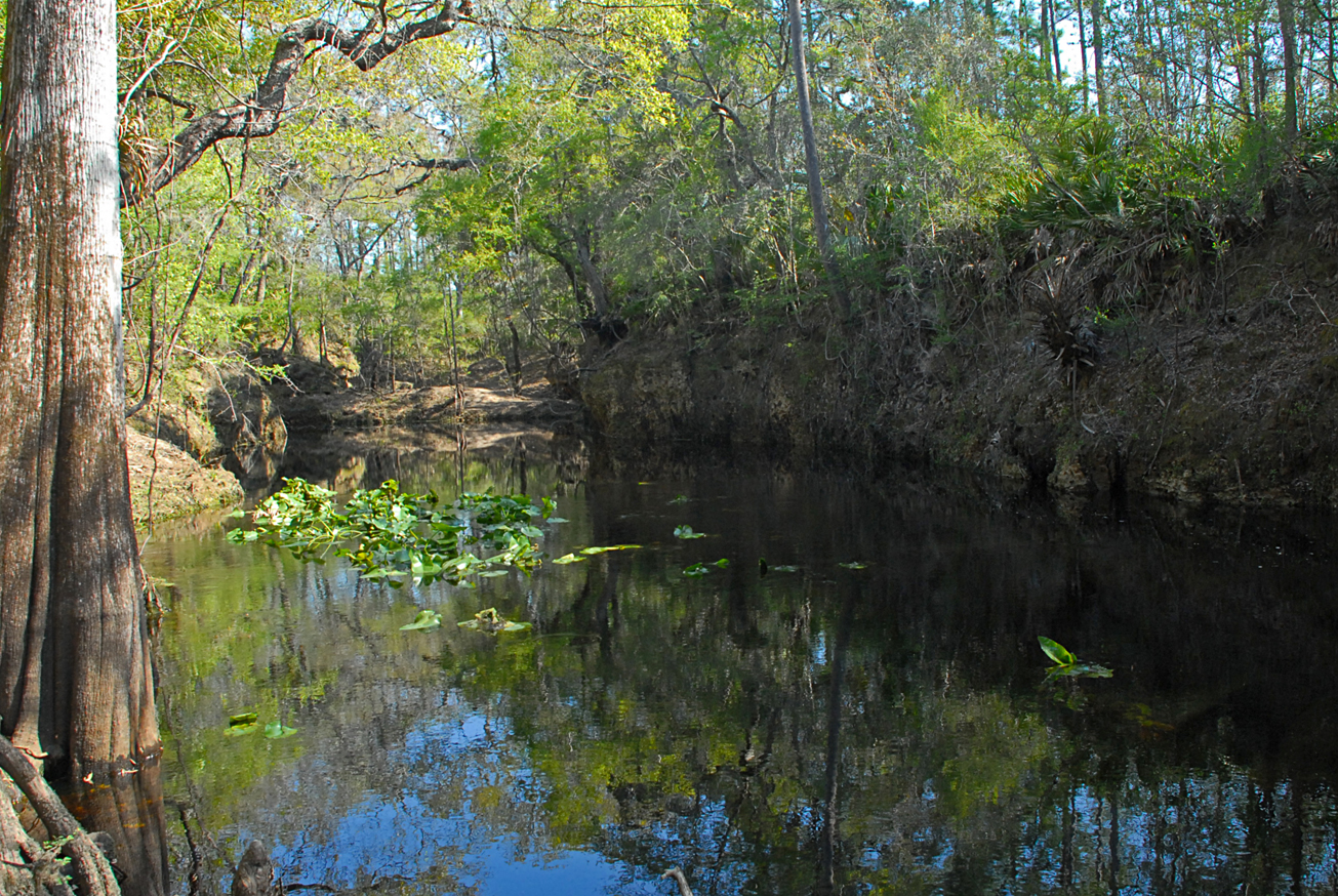
The Econfina River traverses the tract from the north boundary to the southern boundary. The river’s 239-square mile basin drains part of the Big Bend Region. Its headwaters in San Pedro Bay, the Econfina River’s character changes dramatically as it winds 44-miles through upland forests and meanders downstream to the palm-fringed salt marshes of the Gulf of Mexico.
The name “Econfina” derives from the Creek ekana, which means “earthy”, and feno, which means “bridge” or “foot log”. This name may refer to a natural bridge over the river in the Natural Well Branch Tract.
This tract is part of the Lower Econfina River Wildlife Management Area.
Hunting is allowed in permitted areas only. For more information on hunting, contact the Florida Fish and Wildlife Conservation Commission at:
386-758-0525
Florida Fish and Wildlife Conservation Commission Website
Access
Scanlon Tract from Perry:
Travel west approximately 16 miles on US 98 and the entrance is on the left before crossing the Econfina River.
-
 Biking
 -
 Bird Watching
 -
 Canoe Launch
 -
 Fishing
 -
 Hiking
 -
 Hunting
 -
 Scenic Viewing
 -
 Wildlife Viewing
 = Featured
