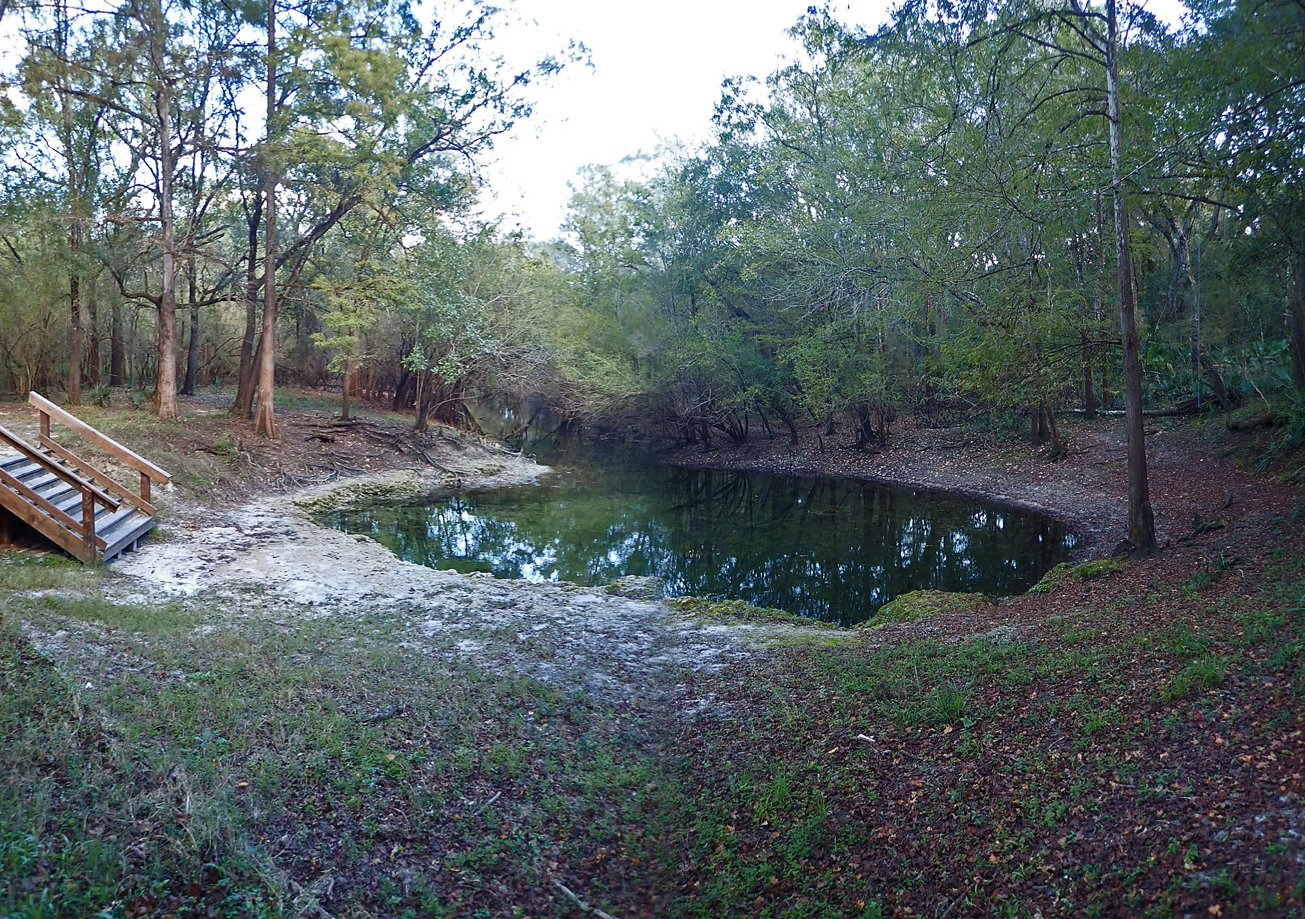
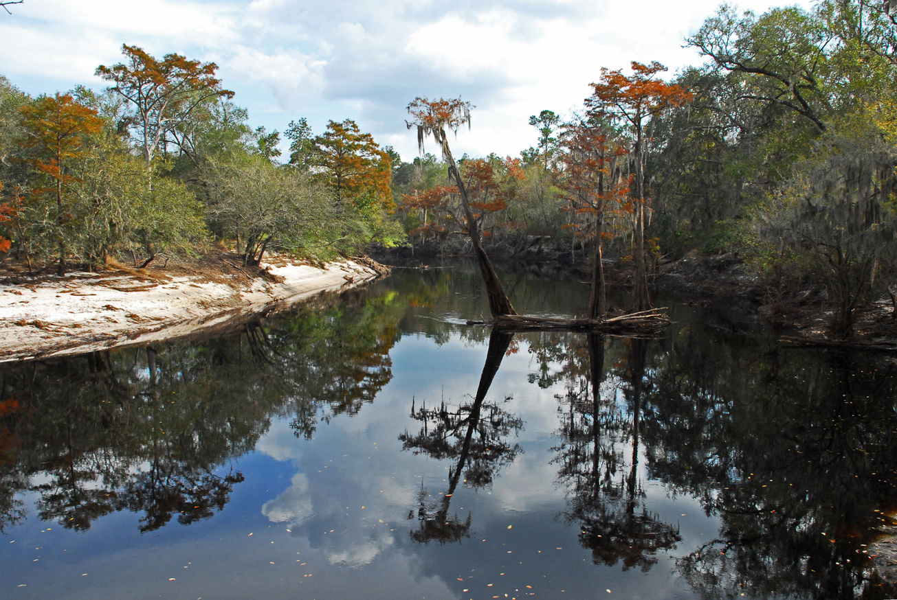
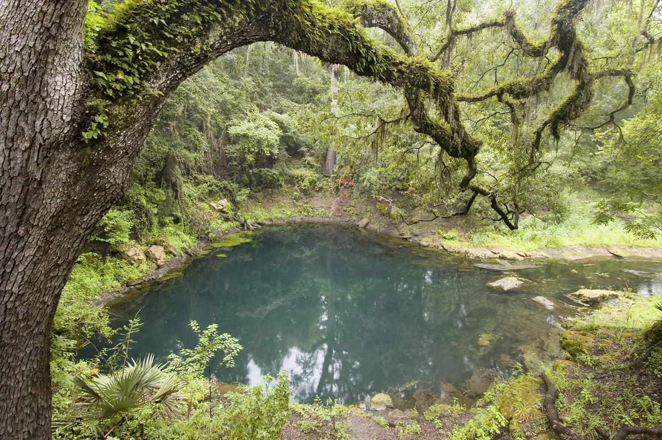
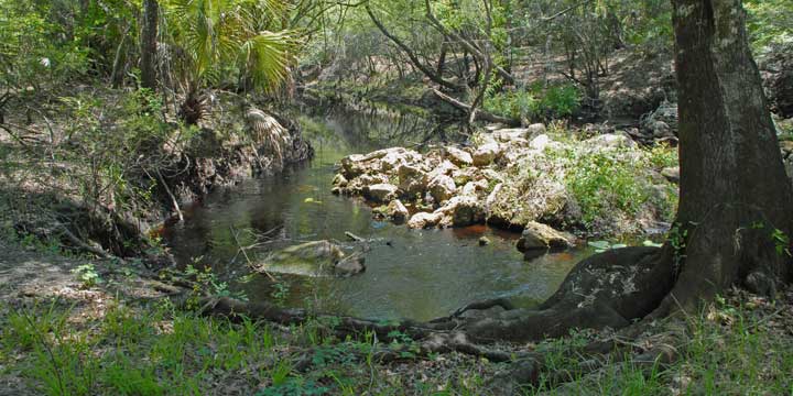
Recreation
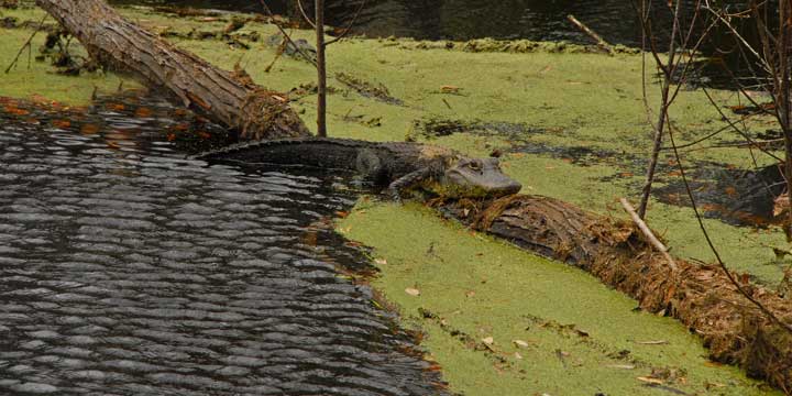
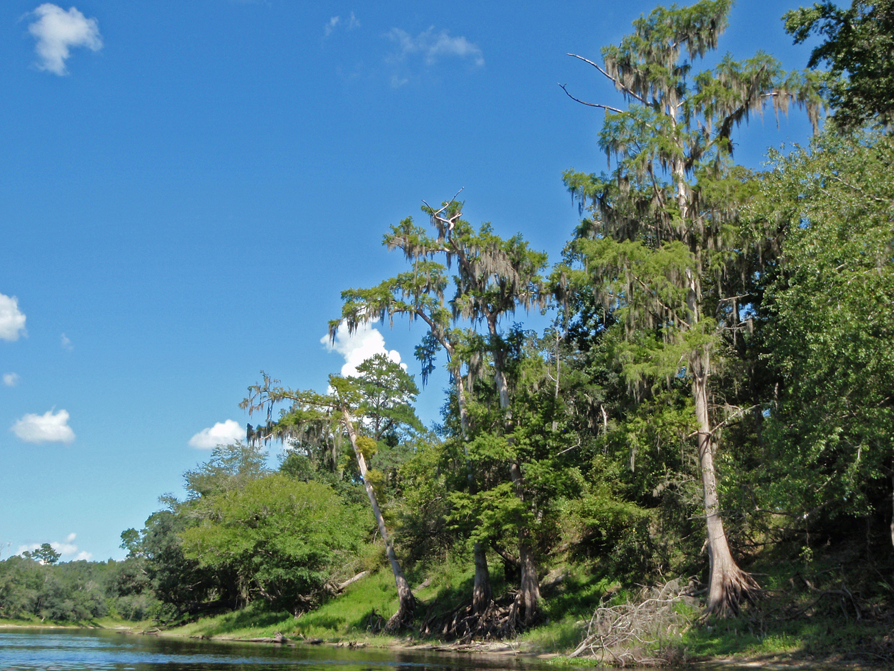
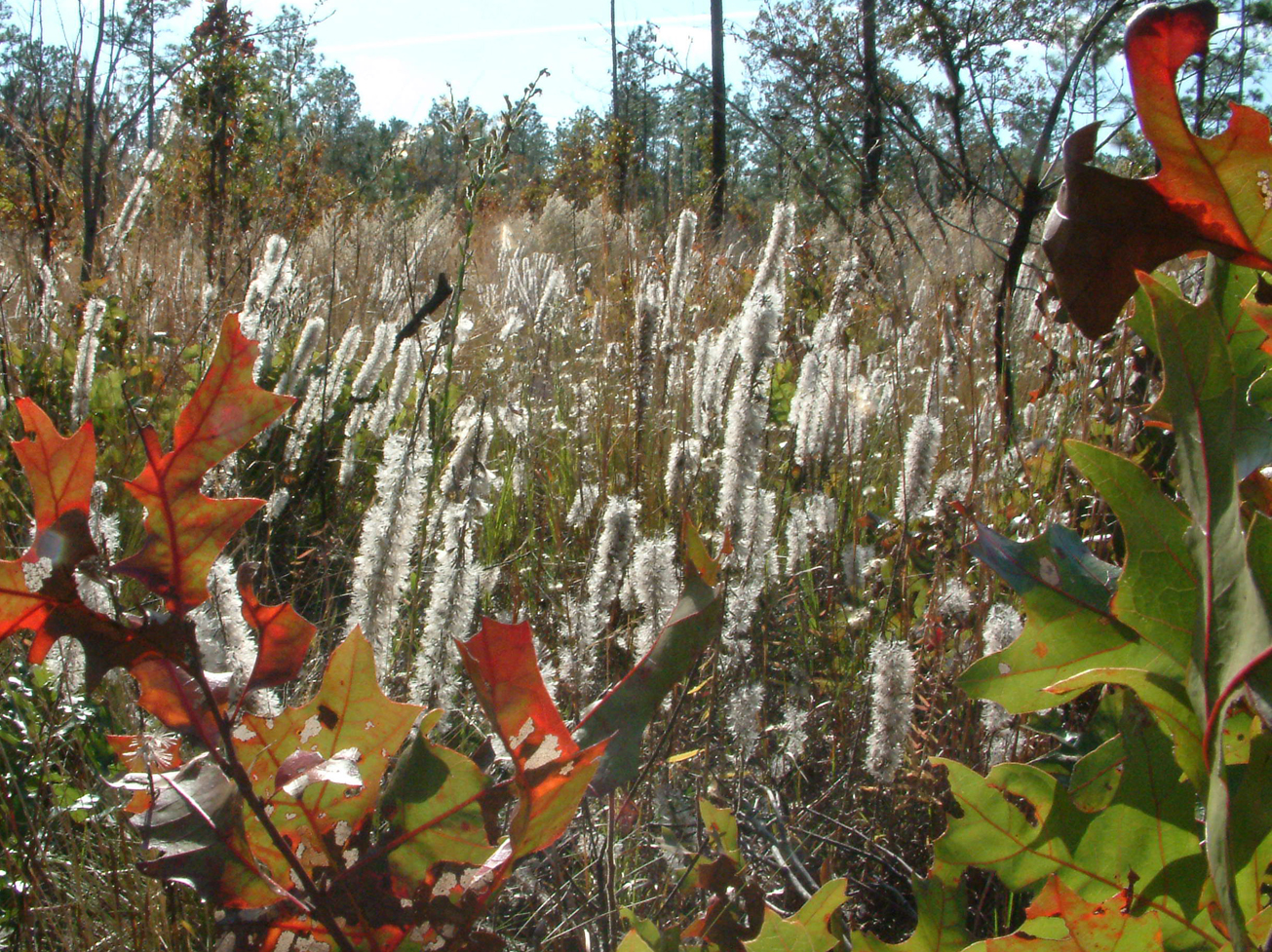
Visitors may enjoy biking, hiking, horseback riding, and wildlife viewing on administrative roads, in addition to fishing, small game, and turkey hunting at the Ruth Springs Tract, which is part of the Troy Springs Wildlife Management Area. Visitors may also enjoy swimming at Lafayette County’s Ruth Springs Park, located within the tract. Canoes, kayaks, and small boats may be hand launched from the Ruth Springs Launch.
For more information on hunting, contact the Florida Fish and Wildlife Conservation Commission at:
386-758-0525
Florida Fish and Wildlife Conservation Commission Website
Note: Hunting is allowed in permitted areas only.
Access
Ruth Springs Tract from Branford:
Travel west on US 27, turn right on NE CR 421; travel north 1 mile and the Ruth Springs tract entrance is on the right. Access from Mayo: Travel east on US 27, turn left on NE CR 421; travel 1 mile and the entrance is on the right.
-
 Biking
 -
 Bird Watching
 -
 Canoe Launch
 -
 Fishing
 -
 Hiking
 -
 Horseback Riding
 -
 Hunting
 -
 Parking
 -
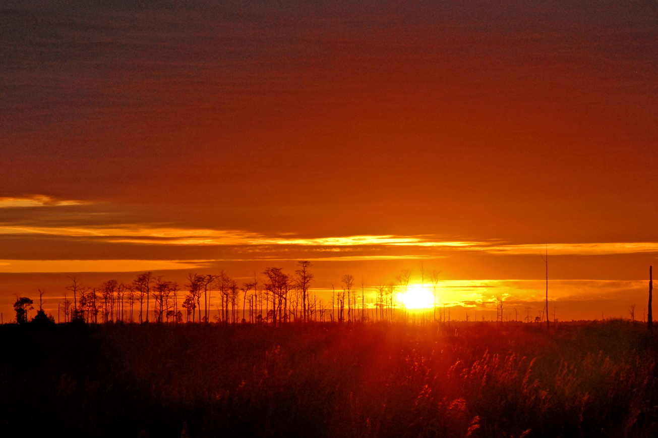
 Scenic Viewing
 -
 Wildlife Viewing

 = Featured
