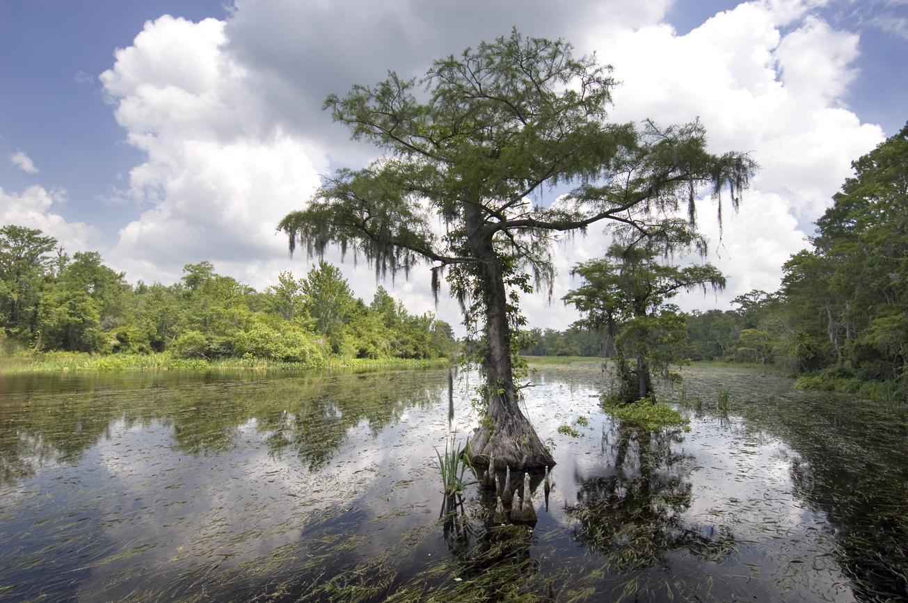
Recreation
Visitors may enjoy biking, hiking, horseback riding, and wildlife viewing on administrative roads, in addition to fishing and hunting.
The Goose Pasture tract is a part of the Aucilla Wildlife Management Area. For more information on hunting, contact the Florida Fish and Wildlife Conservation Commission at:
850-265-3676
Florida Fish and Wildlife Conservation Commission Website
Aucilla Bird List (PDF)
Note: Hunting is only allowed in permitted areas.
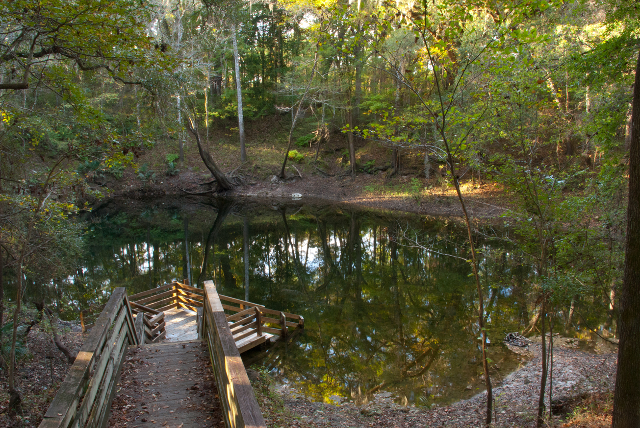
Camping Area
The primitive camping area is open on a first-come, first-served basis by self-issued special use authorization, which is available at the kiosk. Campers are limited to a 10-day stay. Camping is not allowed during general gun season. The group camping area can be reserved for groups of six or more by contacting the District at:
386-362-1001
800-226-1066 (FL only)
Email Recreation
Access
Goose Pasture tract from Perry:
Travel 22 miles west on US 98 to Powell Hammock Road, turn right; travel north 4 miles, turn left on Goose Pasture Road; travel west 2.75 miles and the tract is on both sides of the road. Continue traveling west 1 mile and the road ends at Goose Pasture Campground.
 = Featured
-
 Biking
 -
 Bird Watching
 -
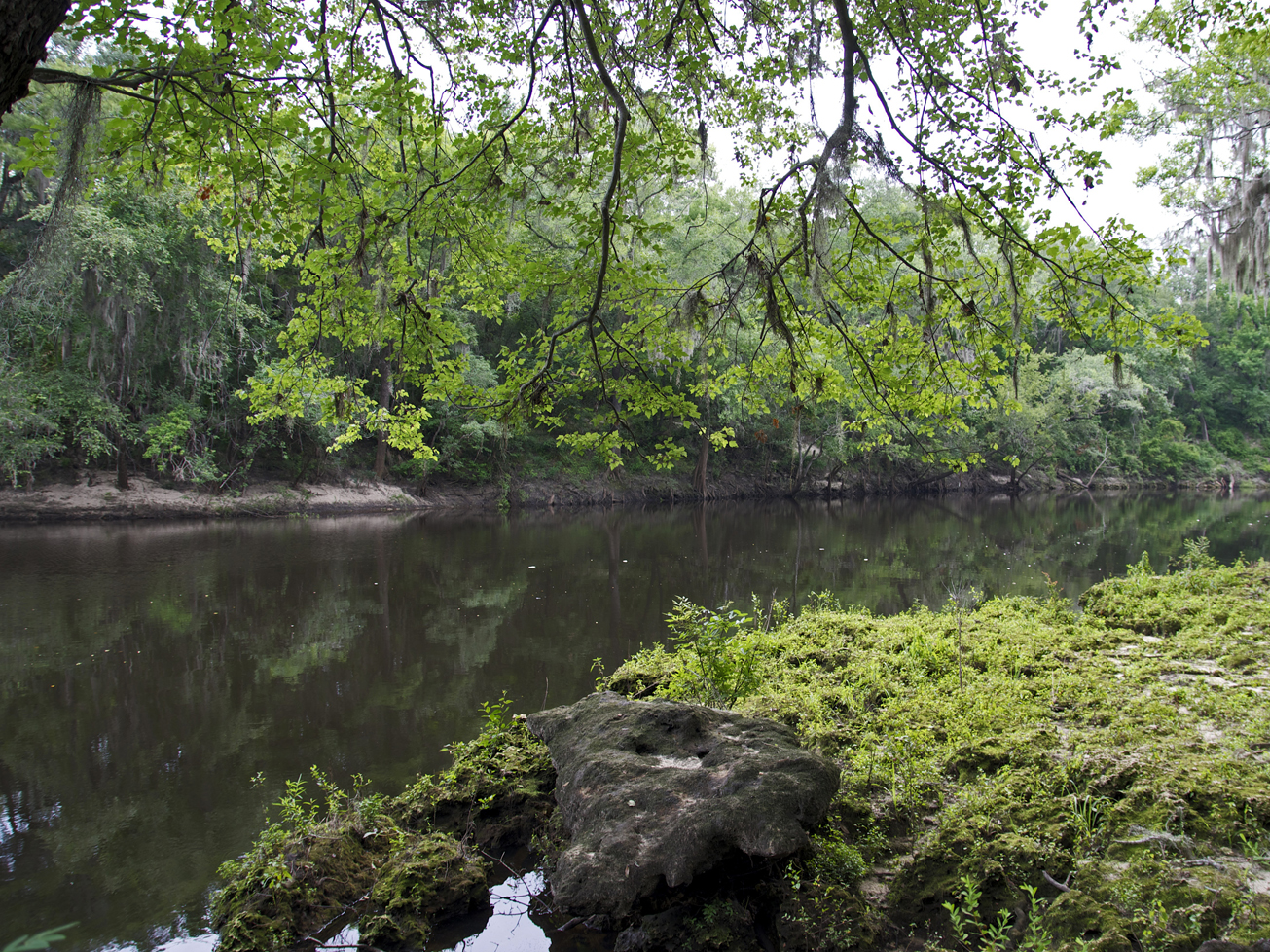
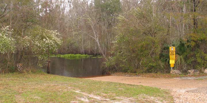
 Boat Ramp
 -
 Camping Area
 -
 Canoe Launch
 -
 Equestrian Trailhead
 -
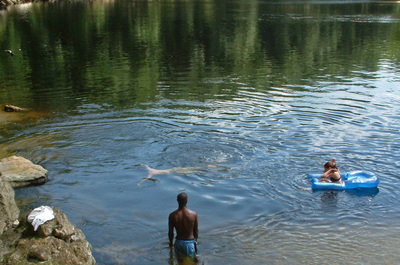
 Fishing
 -
 Group Camping Area
 -
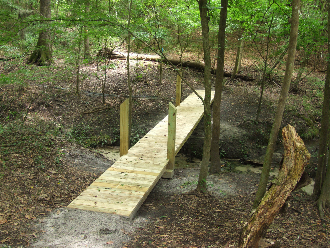
 Hiking
 -
 Hunting
 -
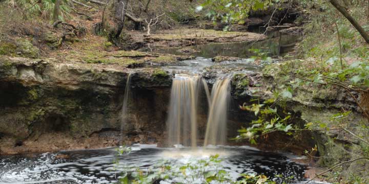
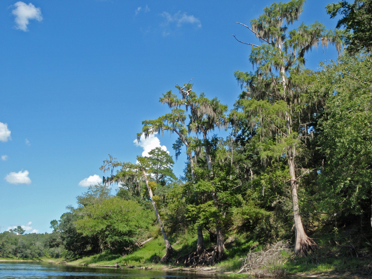
 Scenic Viewing
 -
 Wildlife Viewing


