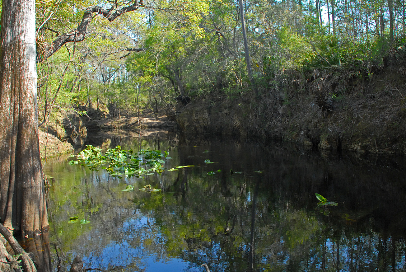
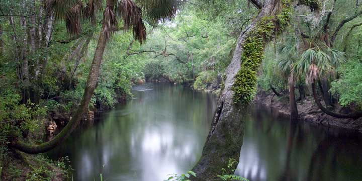
View Tract Details

SULLIVAN TRSF

Recreation
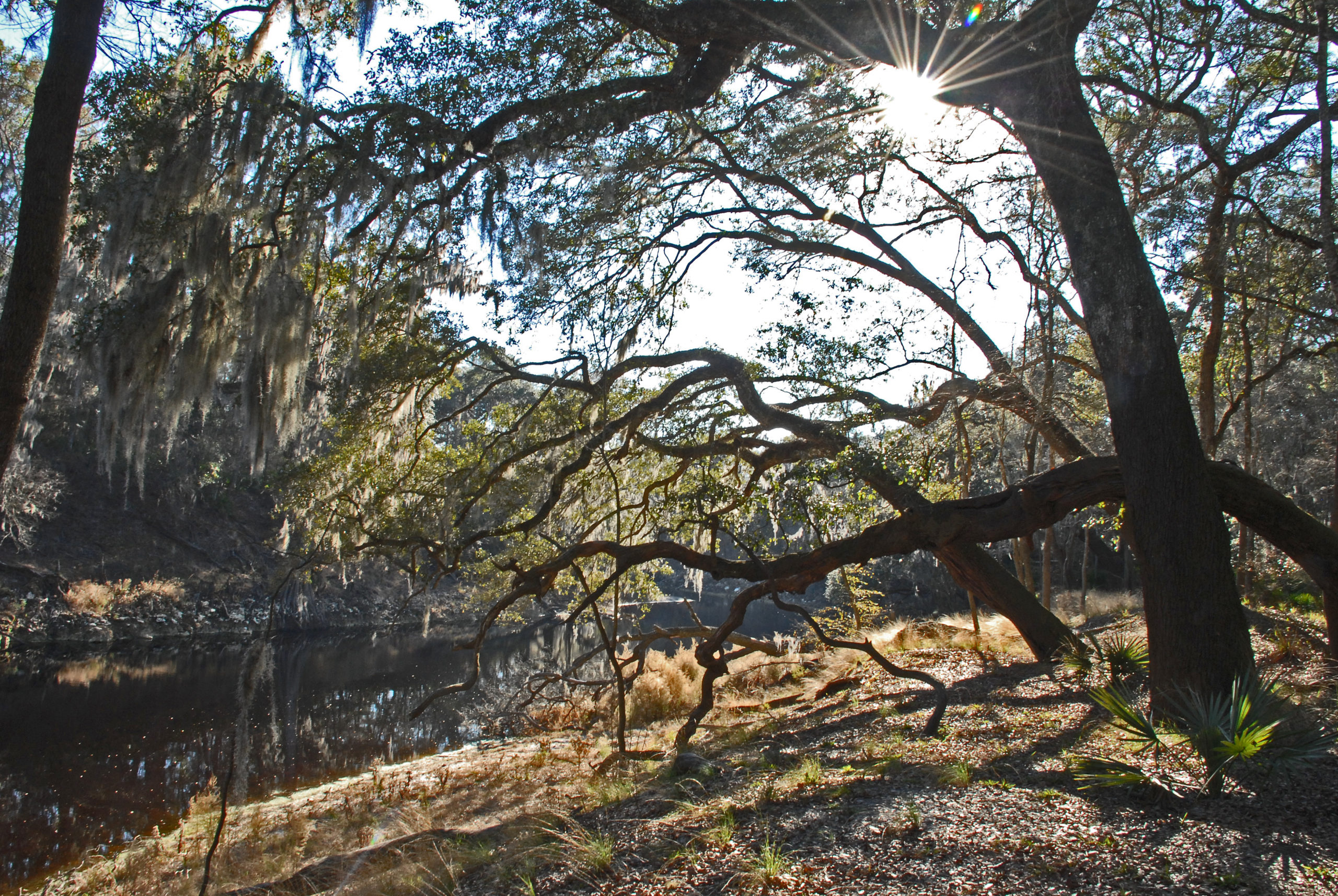
On this primitive site, visitors may enjoy fishing, canoe launch, as well as biking, hiking, horseback riding, and wildlife viewing on administrative roads.

The Sullivan tract is part of Twin Rivers State Forest. For more information, call or visit:

386-208-1460
Florida Department of Agriculture and Consumer Services Website

Access
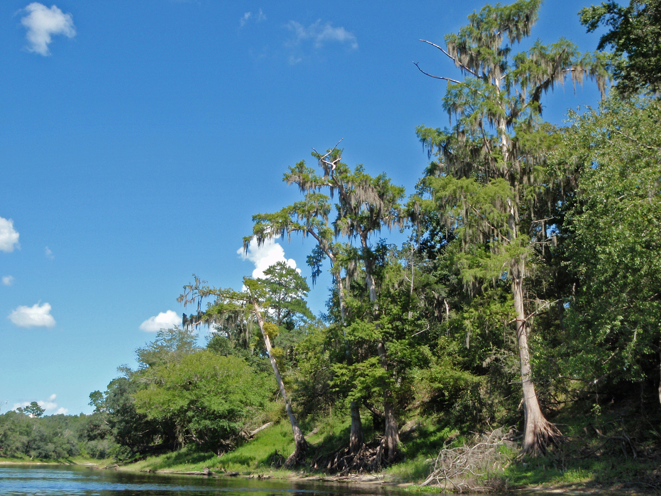
Sullivan tract from Madison:
Travel north on CR 149 to CR 150, turn right; the tract is on the Withlacoochee River.

Size
Sullivan – 376 acres

View Tract Details

STEINHATCHEE SPRINGS

Note: Hunting is allowed in permitted areas only.

Recreation
On this primitive tract, which is part of the Steinhatchee Springs Wildlife Management Area, visitors may enjoy biking, hiking, horseback riding, and wildlife viewing on administrative roads, in addition to fishing and hunting.

For more information on hunting, contact the Florida Fish and Wildlife Conservation Commission at:

386-758-0525
Florida Fish and Wildlife Conservation Commission Website

Access
Steinhatchee Springs tract from Mayo:
Travel south on SR 51 and the tract is on the left side of the road; continue 1.5 miles south and the tract is on both sides of the road.

Size
Steinhatchee Springs – 20,909 acres

View Tract Details

STEINHATCHEE SPRINGS

Recreation
Steinhatchee Springs Tract is part of the Steinhatchee Springs Wildlife Management Area, visitors may enjoy biking, hiking, horseback riding, and wildlife viewing on administrative roads, in addition to fishing and hunting. Canoes, kayaks, and small boats may launch at some of the river access points.

For more information on hunting, contact the Florida Fish and Wildlife Conservation Commission at:

386-758-0525
Florida Fish and Wildlife Conservation Commission Website

Note: Hunting is allowed in permitted areas only.

Access
Steinhatchee Springs Tract from Mayo:
Travel south on SR 51 and the tract is on the left side of the road; continue 1.5 miles south and the tract is on both sides of the road.

View Tract Details

MILL CREEK NORTH TRSF

Note: Hunting is allowed in permitted areas only.

Recreation
Mill Creek North is part of Twin Rivers State Forest, visitors may enjoy biking, hiking, horseback riding, and wildlife viewing on administrative roads, in addition to fishing and hunting. For more information, call or visit:

386-208-1460
Florida Department of Agriculture and Consumer Services Website

For more information on hunting, contact the Florida Fish and Wildlife Conservation Commission at:

386-758-0525
Florida Fish and Wildlife Conservation Commission Website

The Florida National Scenic Trail traverses the Mill Creek North tract before exiting the Suwannee region and heading west.

Access
Mill Creek North from Madison:
Travel east on US 90 to SE River Road , turn right; travel south 4 miles and the entrance is on the left. Continue south 2 miles on SE River Road and Mill Creek North is on the left.

View Tract Details

MANATEE SPRINGS SOUTH

Recreation
On Manatee Springs Tract visitors may enjoy biking, hiking, horseback riding, and wildlife viewing.

Access
Manatee Springs South Tract from Chiefland:
Travel west on CR 320, turn left on NW 107th Terrace; at the 90° right turn the road becomes NW 132nd Place; travel 2.5 miles and the entrance is on the left.

View Tract Details

MALLORY SWAMP

Recreation
Visitors may enjoy biking, hiking, horseback riding, and wildlife viewing on administrative roads, in addition to ATV riding, fishing, and hunting.

There is a designated ATV trail that is open from late April to mid September. See the conditions of use and safety guidelines (PDF). For more information, contact the District office at:

386.362.1001
800.226.1066 (FL only)
Email Us

Mallory Swamp is part of the Mallory Swamp Wildlife Management Area. For more information on hunting, contact the Florida Fish and Wildlife Conservation Commission at:

386.758.0525
Florida Fish and Wildlife Conservation Commission Website

Note: Hunting is allowed in permitted areas only.

Access
Mallory Swamp Tract from Mayo:
Travel south on SR 51 to CR 360, turn left; travel 11 miles southeast on CR 360; the pavement ends and the road becomes dirt (Crapps Tower Road); continue 4 miles to the entrance into Mallory Swamp.

Mallory Swamp Tract from Old Town:
Travel north on CR 349 16.5 miles to McCall’s Chapel Grade, turn left; travel west 2 miles on McCall’s Chapel Grade to the entrance.

Mallory Swamp Tract from Branford:
Travel south on CR 349 10 miles to McCall’s Chapel Grade, turn right; travel west 2 miles on McCall’s Chapel Grade to the entrance.

View Tract Details

LUKENS

Recreation
This tract is managed by the U.S. Fish and Wildlife Service as part of the Cedar Keys National Wildlife Refuge. Visitors may enjoy fishing, hiking and wildlife viewing, as well as paddling. There is a kayak launch on the tract on the east side of SR 26. For more information, contact the Cedar Keys National Wildlife Refuge at:

352-493-0238
U.S. Fish and Wildlife Service – Cedar Keys Page

Access
Lukens tract from Cedar Key:
Travel north 3.5 miles from Cedar Key on SR 26, turn right on SW 153rd Court, travel north .25 mile and entrance gate to the east side is on the right. Public access to the Lukens tract east side is by special use authorization (SUA). An SUA is free and available by calling (386-362-1001) or emailing the District. Obtaining an SUA may take 3-5 business days.

Lukens access on the west side of SR 26.


View Tract Details

JONES MILL CREEK

Recreation
On the Jones Mill Creek Tract visitors may enjoy biking, hiking, horseback riding, scenic viewing, and wildlife viewing, in addition to fishing and hunting. Many of the river access points provide launches for canoes or small boats.

Jones Mill Creek is part of the Aucilla Wildlife Management Area. Hunting is allowed in permitted areas only. For more information on hunting, contact the Florida Fish and Wildlife Conservation Commission at:

850-265-3676
Florida Fish and Wildlife Conservation Commission Website
Aucilla Bird List (PDF)

Access
Jones Mill Creek Tract:
Travel 22 miles west on US 98 to Powell Hammock Road, turn right; travel north 4 miles, turn left on Goose Pasture Road; Continue west on Goose Pasture Road 1.25 miles, turn right on Jerkins Mainline Road and the tract is on the right.

View Tract Details

HOLTON CREEK

Recreation
On the Holton Creek Tract visitors may enjoy fishing, biking, hiking, horseback riding, and wildlife viewing on administrative roads. Hunting is for persons who are mobility-impaired. For more information on hunting, contact the Florida Fish and Wildlife Conservation Commission at:

386-758-0525
Florida Fish and Wildlife Conservation Commission

Note: Hunting is allowed in permitted areas only.

Access
Holton Creek tract from Jasper:
Travel south on CR 249 approximately 11 miles to SW 64th Terrace, turn left into Holton Creek.

Holton Creek tract from Live Oak:
Travel north on CR 249 crossing the Suwannee River and the road becomes CR 751; travel .25 miles, turn right on CR 249; travel one mile, turn right on SW 64th Terrace into Holton Creek.

View Tract Details

JENNINGS BLUFF

Recreation
On this tract, visitors may enjoy fishing, as well as biking, hiking, horseback riding, and wildlife viewing on administrative roads.

The Jennings Bluff tract has a canoe launch and part of The Great Florida Birding Trail.

Alapaha River

The 202-mile-long Alapaha River is a tributary of the Suwannee River flowing through South Georgia and North Florida with three tributaries the Willacoochee, Alapahoochee and Little Alapaha Rivers. The final twenty-five miles in North Florida is an intermittent river during periods of low volume. Most of the water disappears underground into swallets in the river bed and a “blind valley” and becomes a subterranean river approximately 2.3 miles below Jennings, FL.

Dead River

A major swallet is at the terminus of the blind valley known as the Dead River and Dead River Sink.  Blind valleys are karst features where surface water is diverted from a river and flows into a channel to a swallet or sinkhole recharging the aquifer.  The Dead River is a distributary of the Alapaha where the water flows upstream to the Dead River Sink and disappears into an opening in the rock wall.  During extreme low water conditions, the Dead River may be dry.

A dye trace study conducted in 2016 by the District and Florida Geological Survey introduced dye into the Dead River Sink, six days later it appeared in Holton Creek Rise and Alapaha Rise ten miles to the south.  Both flow into the Suwannee River.

Cody Escarpment (Cody Scarp) traverses the southwest corner of the tract. The Cody Scarp is a geomorphologic formation that runs across north and central Florida. It approximates an ancient shoreline of Florida from a time when sea levels were much higher. The Cody Scarp represents the largest continuous topographic break in Florida. For more information about the Cody Scarp, visit mysuwanneeriver.com.

Access
Jennings Bluff tract from Jasper:
Travel north on US 41, turn right on NW 25th Lane; travel approximately 2 miles east and the entrance is on the left.