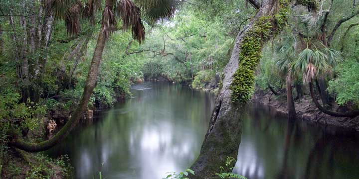
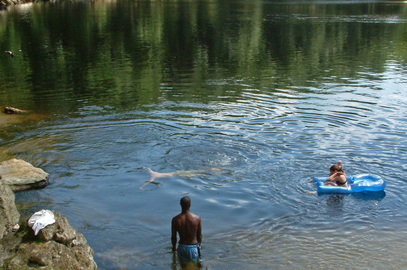
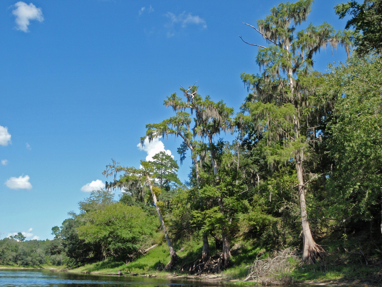
Recreation
The Holton Creek River Camp is part of the Holton Creek Tract and the second river camp between White Springs and Branford. The river camp provides 5 screened shelters, a picnic pavilion, restrooms with hot showers, and a tent-camping area. For more information on the Suwannee River Wilderness Trail, call or visit:
800.868.9914
Suwannee River Wilderness Trail
Access
Holton Creek River Camp is accessible only from the river. No vehicles are allowed. Outfitters can work with visitors to deliver gear, coolers and food to the river camps. Ask your outfitter for specific services.
 = Featured
-
 Bird Watching
 -
 Camping Area
 -
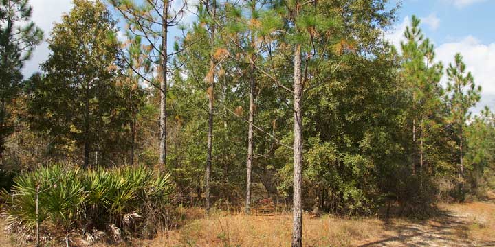
 Hiking
 -
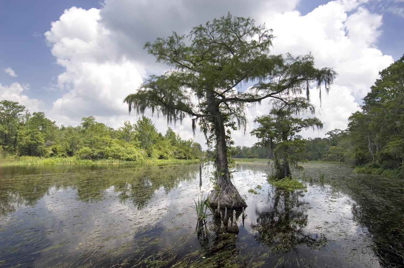
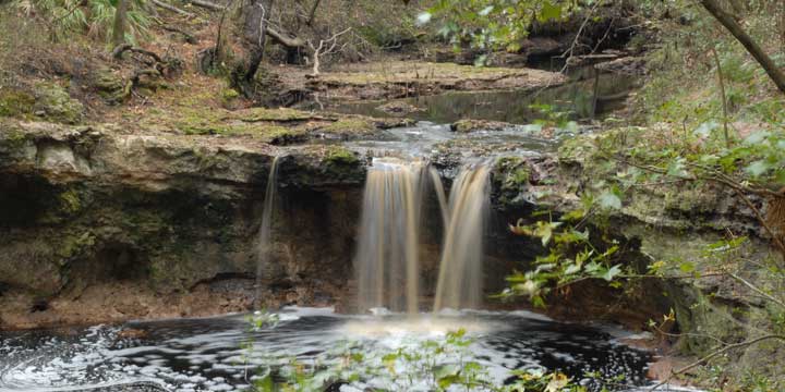
 Scenic Viewing
 -
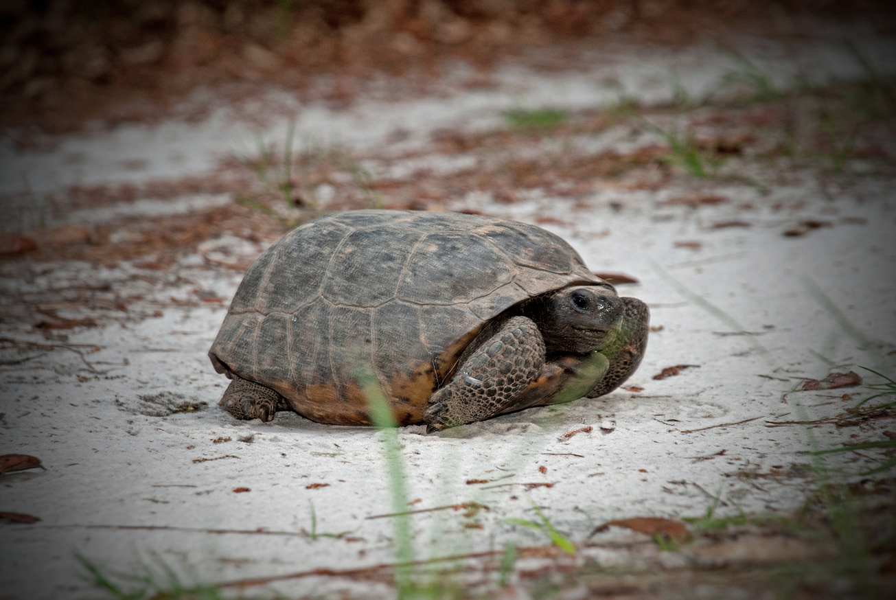
 Wildlife Viewing


