View Tract Details

CHITTY BEND WEST

Recreation
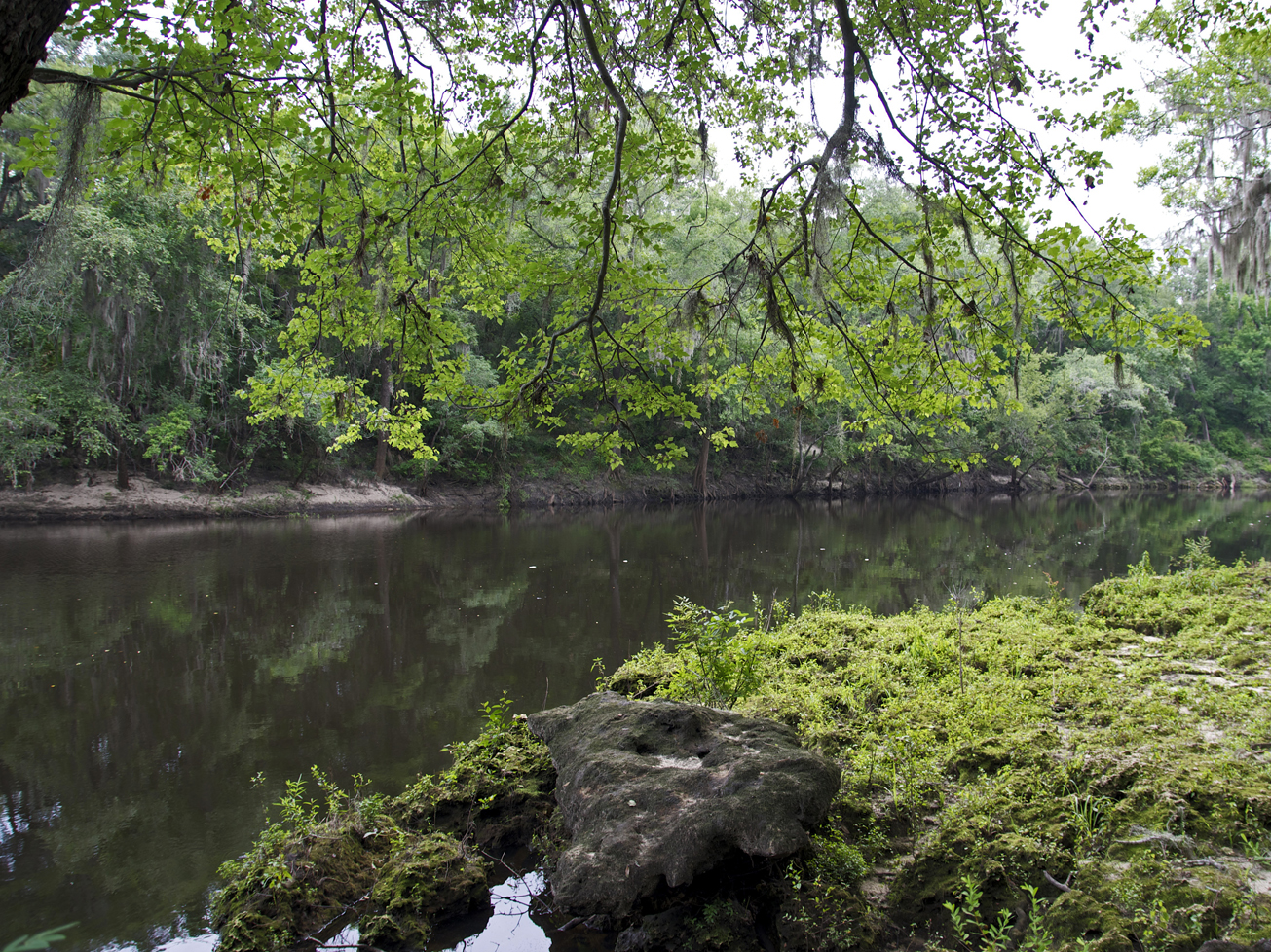
Visitors may enjoy fishing, as well as biking, hiking, horseback riding, and wildlife viewing on administrative roads.

This tract is part of Twin Rivers State Forest. For more information, call or visit:

386-208-1460
Florida Department of Agriculture and Consumer Services Website

Access
Chitty Bend West Tract from Lee:
Travel north on CR 255, turn right on SR 6; travel east 2 miles, turn left on Old Blue Springs Road; travel 3.25 miles north, turn right on NE Cottonwood Street and the tract is at the end of the road.


View Tract Details

CHITTY BEND WEST TRSF

Recreation
Visitors may enjoy fishing, as well as biking, hiking, horseback riding, and wildlife viewing on administrative roads.

This tract is part of Twin Rivers State Forest. For more information, call or visit:

386-208-1460
Florida Department of Agriculture and Consumer Services Website

Access
Chitty Bend West tract from Lee:
Travel north on CR 255, turn right on SR 6; travel east 2 miles, turn left on Old Blue Springs Road; travel 3.25 miles north, turn right on NE Cottonwood Street and the tract is at the end of the road.

Access
Chitty Bend West tract from Lee:
Travel north on CR 255, turn right on SR 6; travel east 2 miles, turn left on Old Blue Springs Road; travel 3.25 miles north, turn right on NE Cottonwood Street and the tract is at the end of the road.


View Tract Details

CUBA BAY

Recreation
On the Cuba Bay Tract visitors may launch a canoe, enjoy fishing, as well as biking, hiking, horseback riding, scenic viewing, and wildlife viewing.

Access
Cuba Bay Tract from Madison:
Travel west to Greenville, turn left on SR 221; travel to CR 150, turn left; travel 5 miles to Old Federal Highway, turn right; travel south 1.25 miles and the tract is on the right.

View Tract Details

DEESE TRSF

Recreation
On the Deese TRSF Tract visitors may enjoy fishing, as well as biking, hiking, horseback riding, and wildlife viewing on administrative roads.

The Deese tract is part of Twin Rivers State Forest. For more information, call or visit:

386-208-1460
Florida Department of Agriculture and Consumer Services Website

Access
Deese tract from Madison:
Travel north on CR 149 to CR 150, cross the river, turn left on NW 167th Avenue; travel north .75 mile and the tract is on the east and west side of the road.

View Tract Details

ELLAVILLE

Note: Hunting is allowed in permitted areas only.

Recreation
On this tract, which is part of Twin Rivers State Forest, visitors may enjoy biking, hiking, horseback riding, and wildlife viewing on administrative roads, in addition to fishing and hunting. For more information, call or visit:

386-208-1460
Florida Department of Agriculture and Consumer Services Website

For more information on hunting, contact the Florida Fish and Wildlife Conservation Commission at:

386-758-0525
Florida Fish and Wildlife Conservation Commission Website

The Florida National Scenic Trail traverses the Ellaville tract before exiting the Suwannee region and heading west.

Access
Ellaville tract from Madison:
Travel east on US 90; the entrance is on the right before crossing the river.

Size
Ellaville – 4,285 acres

View Tract Details

BLUE SINK

Recreation
On the Blue Sink Tract visitors may launch a canoe, hunt, picnic, and view wildlife.

The Blue Sink Tract provides scenic views of the river at the end of Blue Sink Path, parking and canoe launch at the Blue Sink Canoe Launch, and a boardwalk to view the blackwater spring at Blue Sink.

Access
Blue Sink Tract from Live Oak:
Travel northeast on SR 136 crossing I-75; travel approximately 1 mile past the interstate, turn left on 27th Road and the Blue Sink tract begins approximately .75 mile on both sides of the road. From White Springs: Travel southwest on SR 136, turn right on 27th Road.

View Tract Details

BIG SHOALS PUBLIC LANDS

Big Shoals Public Land is owned by three agencies Florida Department of Environmental Protection (Big Shoals State Park), Florida Forest Service (Big Shoals State Forest), Suwannee River Water Management District and managed as Big Shoals Public Lands. For information on Big Shoals State Park and Big Shoals State Forest contact:

386-397-4331

Big Shoals State Park Website
386-208-1460

Big Shoals State Forest Website
Recreation
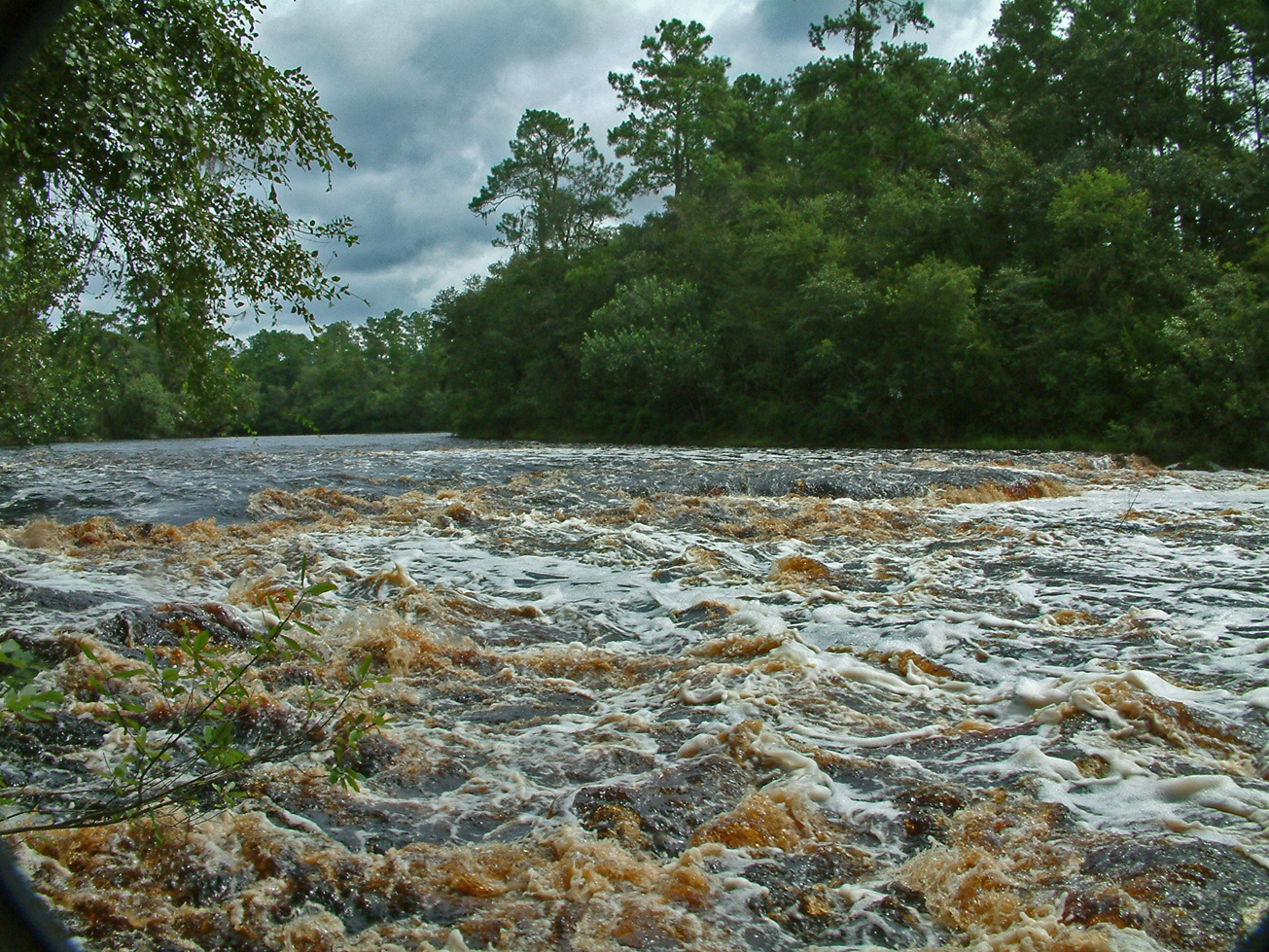
Big Shoals offers 28 miles of trails, including the paved multi-purpose Woodpecker Trail, and a canoe launch for the outdoor enthusiast. Here you can view the only stretch of major whitewater rapids in Florida.

Visitors may enjoy biking, hiking, horseback riding, and wildlife viewing on administrative roads. Hunting is allowed on the Big Shoals tract, which is part of the Big Shoals Wildlife Management Area.

For more information on hunting, contact the Florida Fish and Wildlife Conservation Commission at:

386-758-0525
Florida Fish and Wildlife Conservation Commission Website
Note: Hunting is allowed in permitted areas only.

Access
Big Shoals Public Lands from White Springs:
Travel north from White Springs on CR 135 and turn right into the Little Shoals entrance or continue 2 miles north on CR 135 and turn right on SE 94th Street (Old Goodwin Bridge Road), which ends at the second entrance into Big Shoals Public Lands.

View Tract Details

BIG SHOALS PUBLIC LANDS

Big Shoals Public Land is owned by three agencies Florida Department of Environmental Protection (Big Shoals State Park), Florida Forest Service (Big Shoals State Forest), Suwannee River Water Management District and managed as Big Shoals Public Lands. For information on Big Shoals State Park and Big Shoals State Forest contact:

386-397-4331

Big Shoals State Park Website

386-208-1460

Big Shoals State Forest Website

Recreation
Big Shoals offers 28 miles of trails, including the paved multi-purpose Woodpecker Trail, and a canoe launch for the outdoor enthusiast. Here you can view the only stretch of major whitewater rapids in Florida.

Visitors may enjoy biking, hiking, horseback riding, and wildlife viewing on administrative roads. Hunting is allowed on the Big Shoals tract, which is part of the Big Shoals Wildlife Management Area.

For more information on hunting, contact the Florida Fish and Wildlife Conservation Commission at:

386-758-0525
Florida Fish and Wildlife Conservation Commission Website

Note: Hunting is allowed in permitted areas only.


Access
Big Shoals Public Lands from White Springs:
Travel north from White Springs on CR 135 and turn right into the Little Shoals entrance or continue 2 miles north on CR 135 and turn right on SE 94th Street (Old Goodwin Bridge Road), which ends at the second entrance into Big Shoals Public Lands.


View Tract Details

BELL SPRINGS

Recreation
Visitors may enjoy hiking and wildlife viewing on administrative roads. Fishing is allowed at the Bell Springs tract. The Florida National Scenic Trail traverses Bell Springs along the river.

Bell Springs is the first springs on the Suwannee River. The spring’s discharge flows from a small vent and meanders approximately one-quarter mile to the Suwannee River. Bell Springs is one of three springs north of White Sulphur Springs and is the northern most spring on the river.

The Bell Springs spring run was dammed between 1960 and 1962 creating two ponds. The District purchased the 44-acre tract in 2007 with the goal of restoring Bell Springs and its spring run. The District partnered with the Florida Fish and Wildlife Conservation Commission in 2013 to begin restoration on Bell Springs. The project consisted of draining the ponds, removing the dams, controlling erosion, revegetating both sides of the spring run and allowing the spring run to flow freely from its source. The project was completed in 2014.

HIKING AT BELL SPRINGS

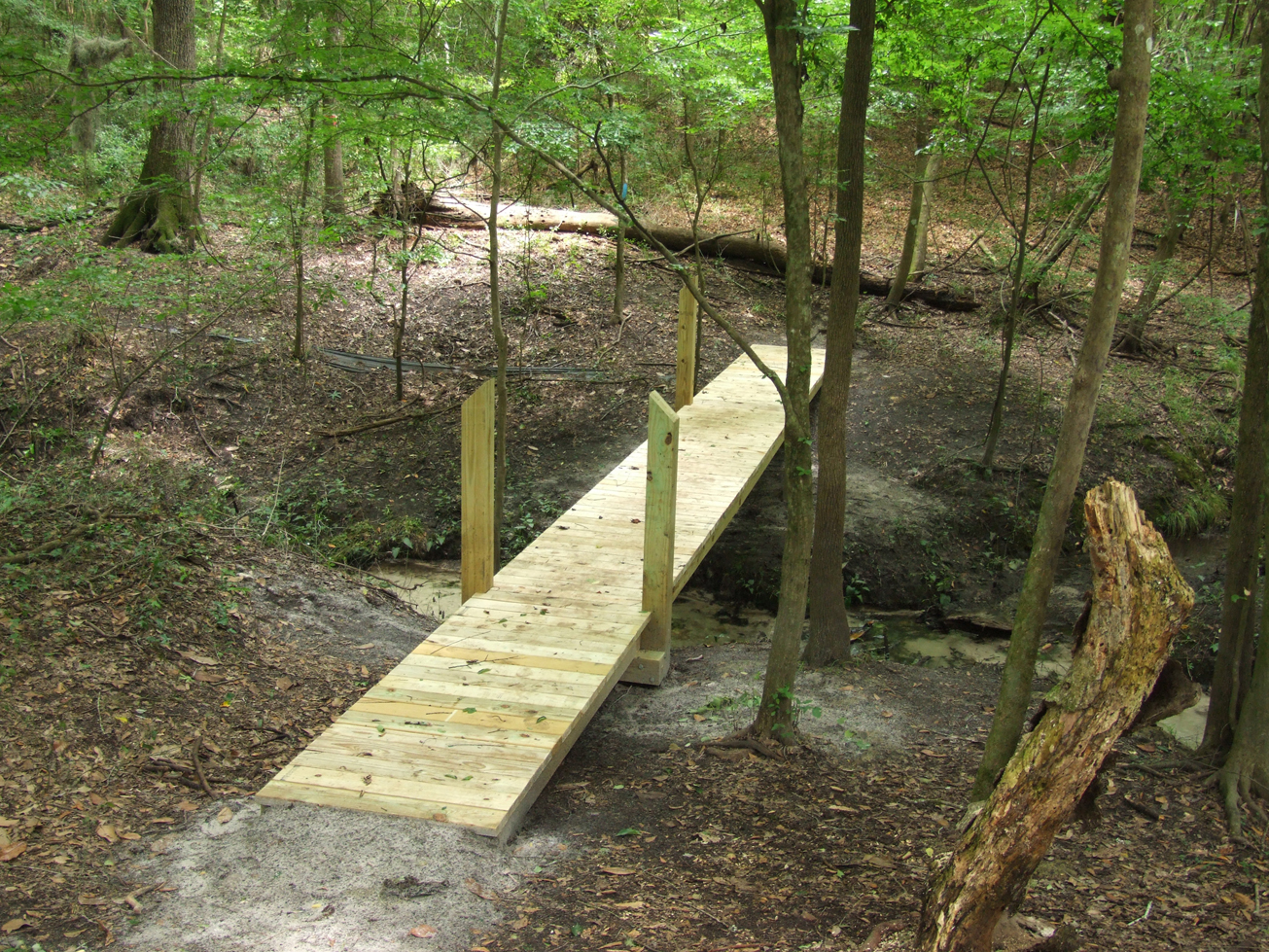
Bell Springs Trailhead to Big Shoals – The orange-blazed trail begins at the Bell Springs trailhead, crosses the Bell Springs run and meanders 1.75 miles upriver to Big Shoals. The trail continues as part of the Florida National Scenic Trail (FNST) eastward and south to Big Cypress in the Everglades.  On its journey upriver, the trail crosses several seeps and weaves through saw palmettos and dwarf live oaks before intersecting with Robinson Branch. Hikers pass by a small waterfall while heading upstream to a creek crossing that has a small bridge. The trail turns back to the river providing scenic views as it winds toward Big Shoals.  When water levels are between 59 and 61 feet above mean sea level, the shoals elevate to a class III whitewater designation.

Bell Springs Trailhead to Stephen Foster Folk Cultural Center State Park – This 8.5-mile section of the orange-blazed Florida National Scenic Trail (FNST) meanders along the Suwannee River. If hikers prefer to divide the 8.5 mile into smaller segments, there are two trailheads along the way, Little Shoals Trailhead and Suwannee River Wayside Park Trailhead.

The 3.5-mile hike from Bell Springs Trailhead to Little Shoals Trailhead crosses private property for a short distance, then meanders through scrubby oaks, saw palmettos, and pines on the District-owned Falling Creek tract along the banks of the Suwannee River to Waldron’s Landing at Falling Creek. After crossing the creek and climbing up the steep creek bank, the trail extends 1.25 miles through mixed hardwoods and pines along the highest bluffs overlooking the river to Little Shoals Trailhead located on the District owned Little Shoals tract. 

From Little Shoals Trailhead, hikers can travel 1.5 miles to the Suwannee River Wayside Park Trailhead. This trail follows the Suwannee River from Little Shoals Trailhead to the US 41 bridge. Hikers will need to cross the US 41 bridge and turn left into the Suwannee River Wayside Park Trailhead. 

From Suwannee River Wayside Park Trailhead, hikers will enter the District-owned White Springs tract. The 3.5-mile trail passes through scrubby oaks, saw palmetto, and pines along the Suwannee River. It exits the White Springs tract at the Adams Memorial Circle Trailhead. From there, hikers have an opportunity to road walk through Historic Downtown White Springs to Stephen Foster Cultural Center State Park. On the White Springs tract, hikers share the trail with bicycles.

Access
Bell Springs Tract from White Springs:
Travel south on US 41 to CR 246 (Lassie Black Street NW) turn left and travel north to Morrell Drive NW turn left and follow to the cul-de-sac. Go through the cul-de-sac and gate and the parking area is at the end of the road.
View Tract Details

ATSENA OTIE KEY

Recreation
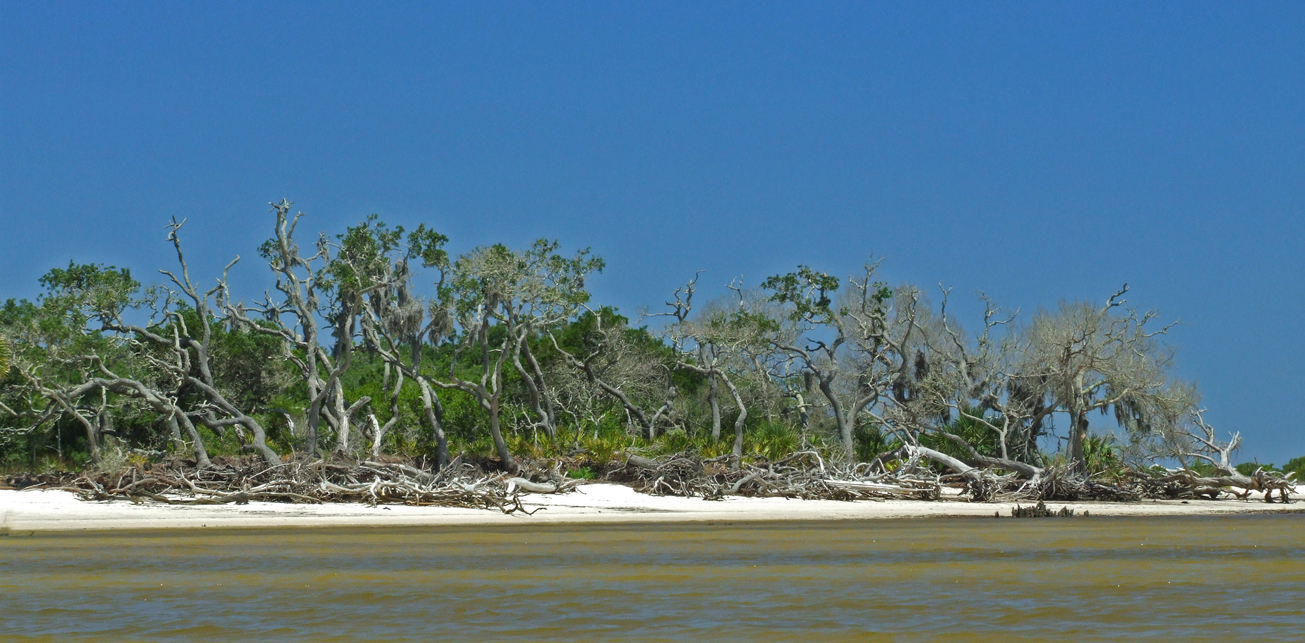
This tract is managed by the U.S. Fish and Wildlife Service as part of the Cedar Keys National Wildlife Refuge. Visitors may enjoy fishing, hiking and wildlife viewing, as well as historic sites. For more information, contact the Cedar Keys National Wildlife Refuge at:

352-493-0238
U.S. Fish and Wildlife Service – Cedar Keys Page


Access
Atsena Otie Key Tract:
Access is by boat only.