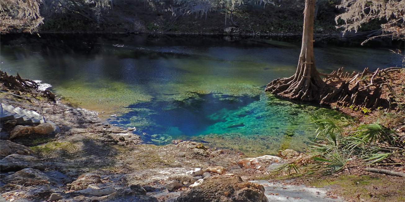
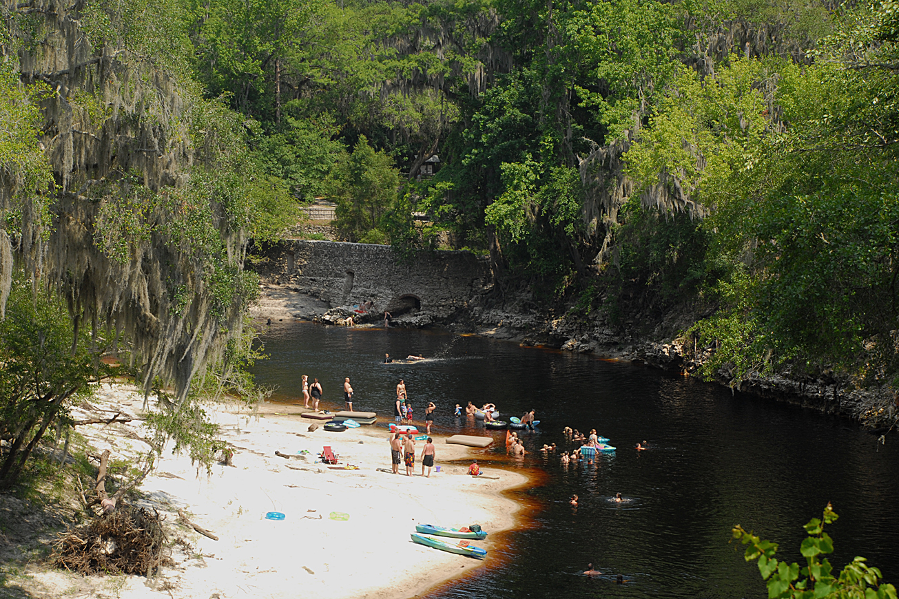
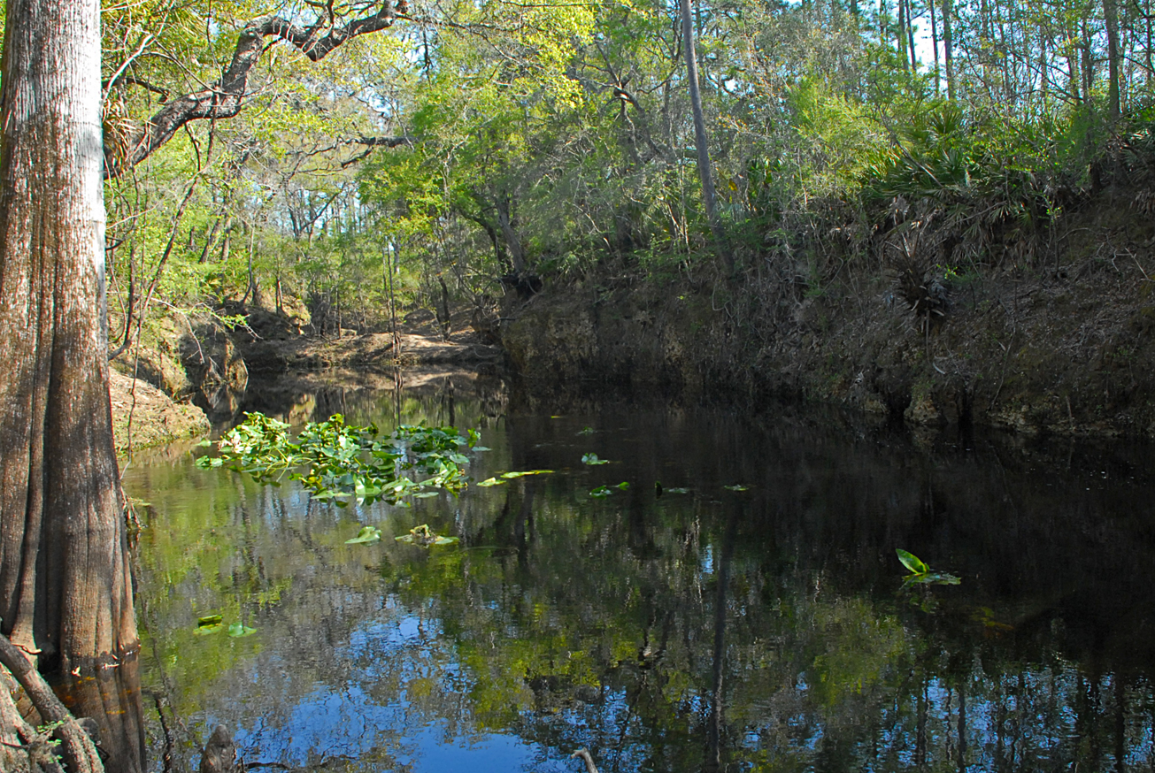
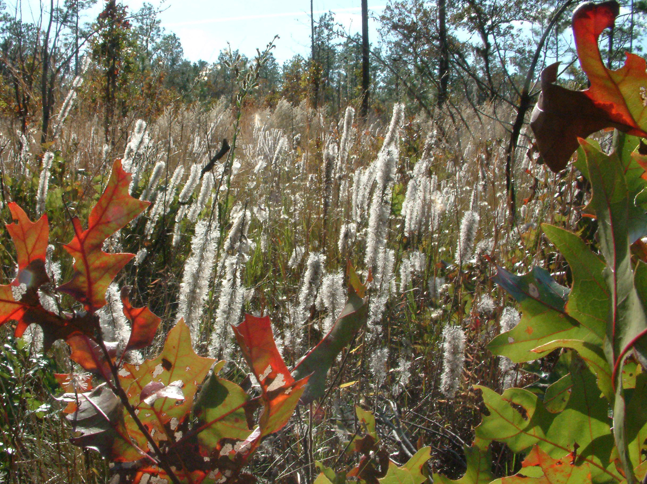
Recreation
Visitors may enjoy biking, hiking, horseback riding, and wildlife viewing on administrative roads. In addition to fishing and hunting.
This tract is part of Twin Rivers State Forest. For more information, call or visit:
386-208-1460
Florida Department of Agriculture and Consumer Services Website
For more information on hunting, contact the Florida Fish and Wildlife Conservation Commission at:
386-758-0525
Florida Fish and Wildlife Conservation Commission Website
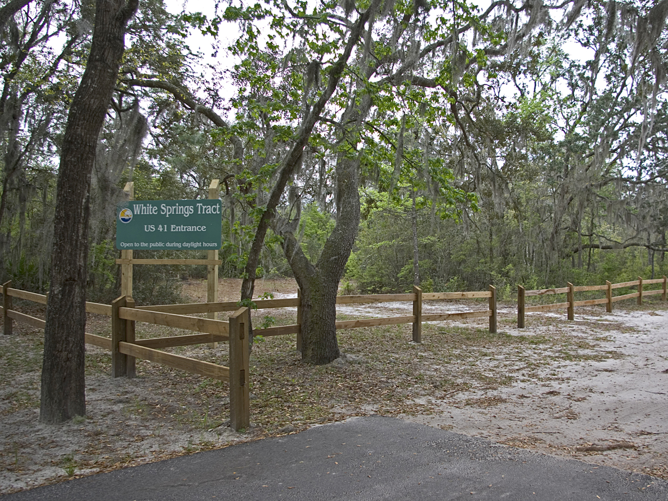
Access
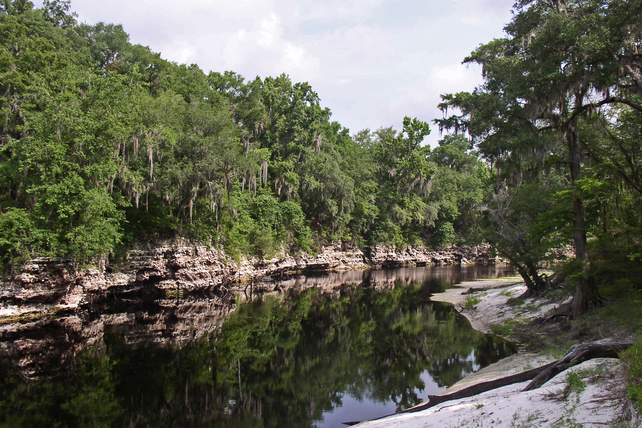
Withlacoochee Tract from Lee:
Travel north on CR 255, turn right on SR 6; travel east 5 miles, cross the Withlacoochee River turn right on SW 28th Lane; travel south .5 miles and the entrance is on the right.
-
 Biking
 -
 Bird Watching
 -
 Fishing
 -
 Hiking
 -
 Horseback Riding
 -
 Hunting
 -
 Parking
 -
 Picnic Area
 -
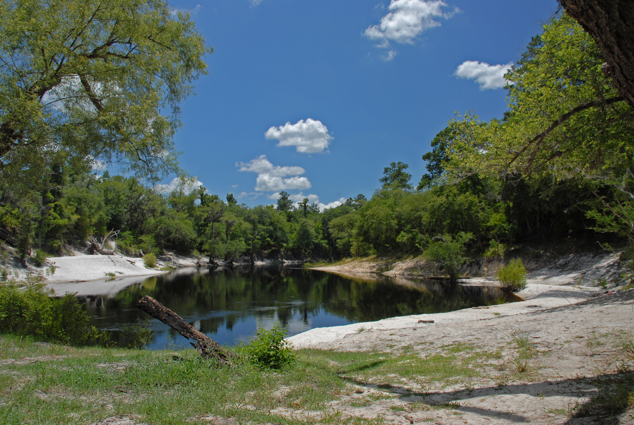
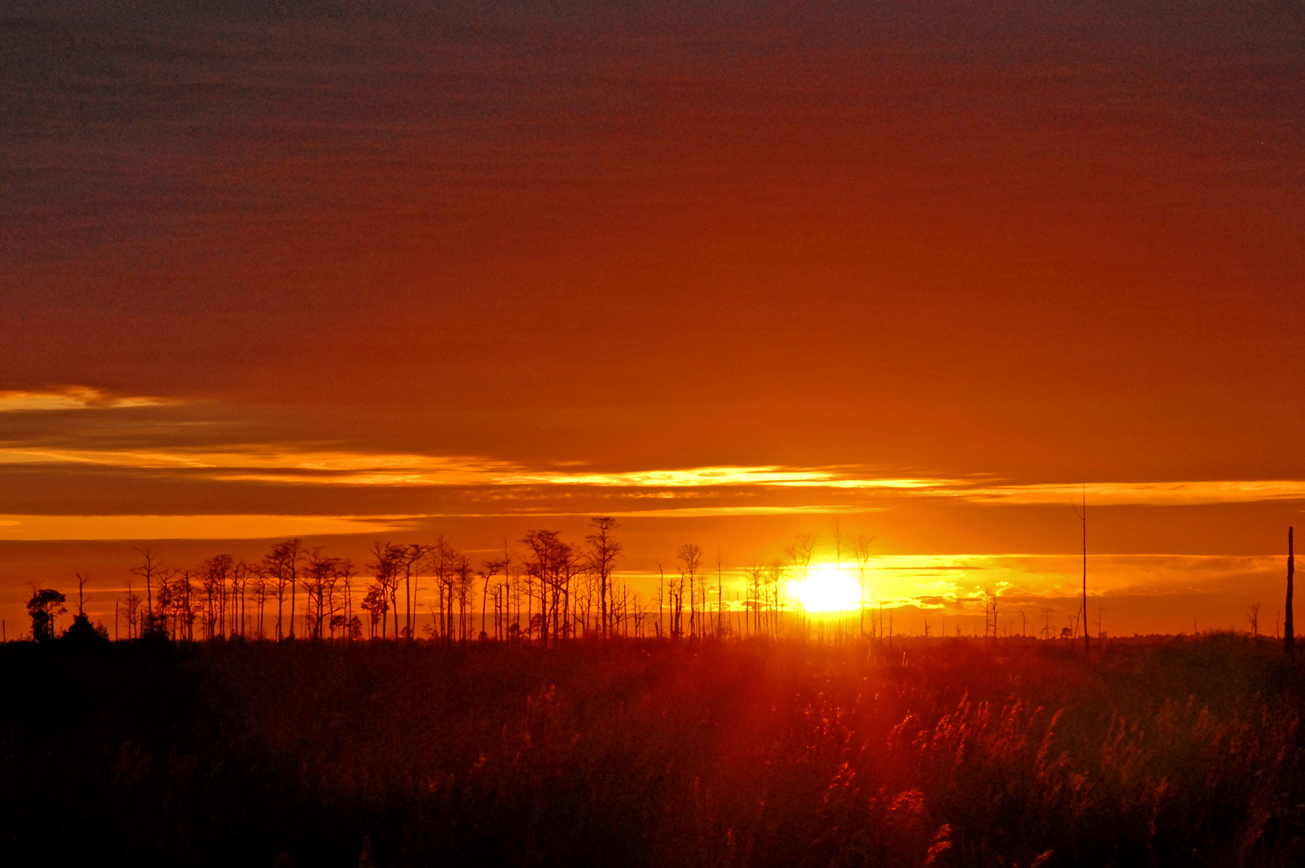
 Scenic Viewing
 -
 Wildlife Viewing
 = Featured


