Recreation
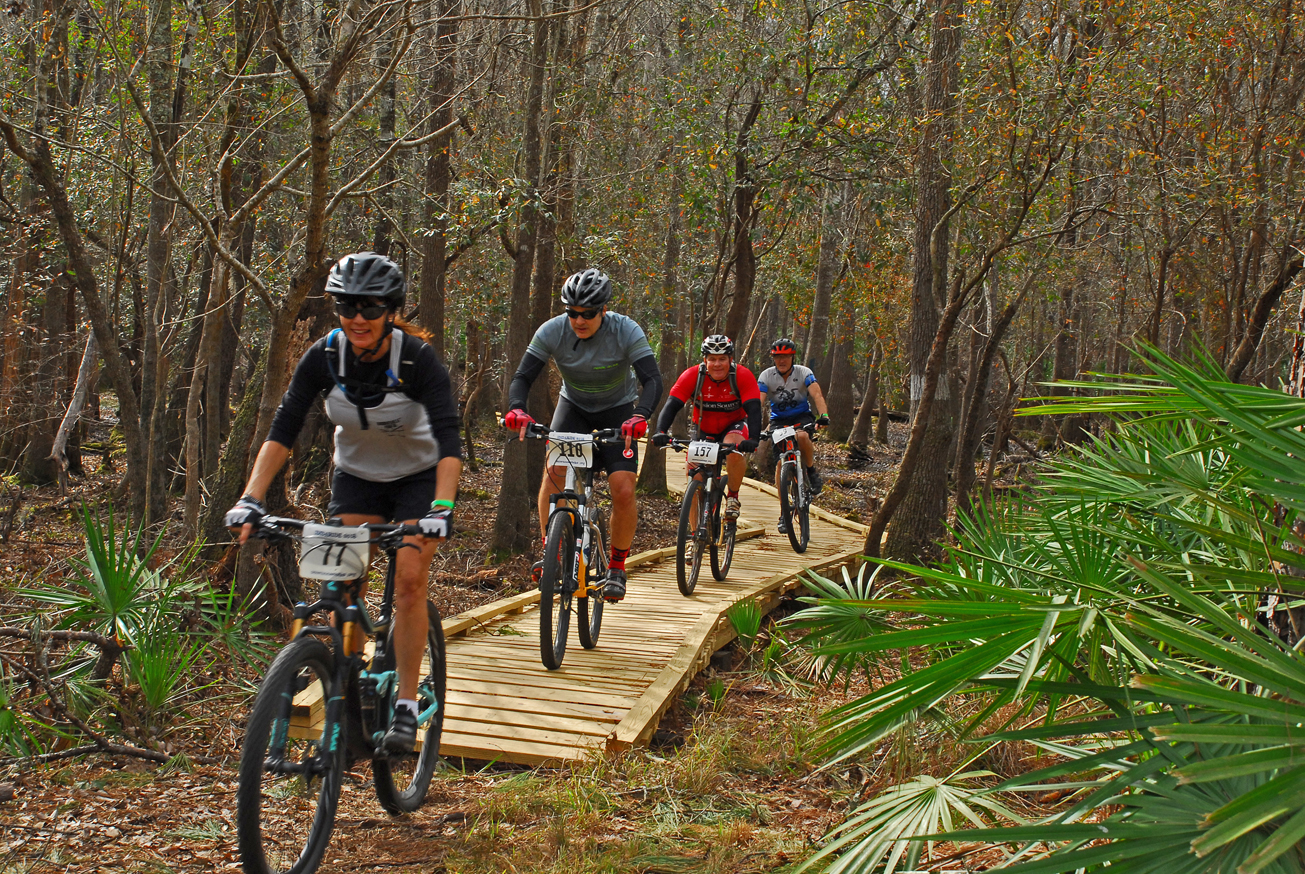
On the Gar Pond Tract, visitors may enjoy biking, hiking, and horseback riding on designated trails and wildlife viewing . Fishing is allowed in Pit Pond.
Gar Pond Trail is a 11-mile trail marked with three-inch yellow disk with a bicycle icon or blue blazes. The trail is open to bicycling and hiking. For bicyclists, the trail is a fast, single track suitable for all skill levels. There are several shortcuts back to the trailhead for the tired and weary. Hikers can enjoy a scenic hike through the diverse vegetation with some elevation changes along the way.
Access
Gar Pond Tract from White Springs:
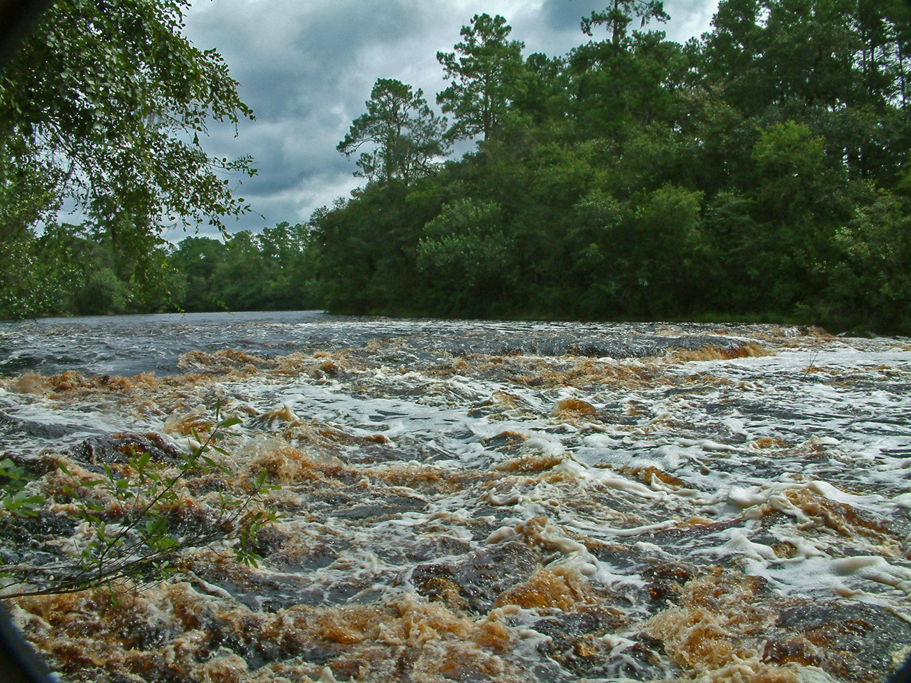
Travel south on US 41, cross the Suwannee River past the inspection station turn right at the entrance sign.
 = Featured
-
 Biking
 -
 Bird Watching
 -
 Fishing
 -
 Hiking
 -
 Horseback Riding
 -
 Parking
 -
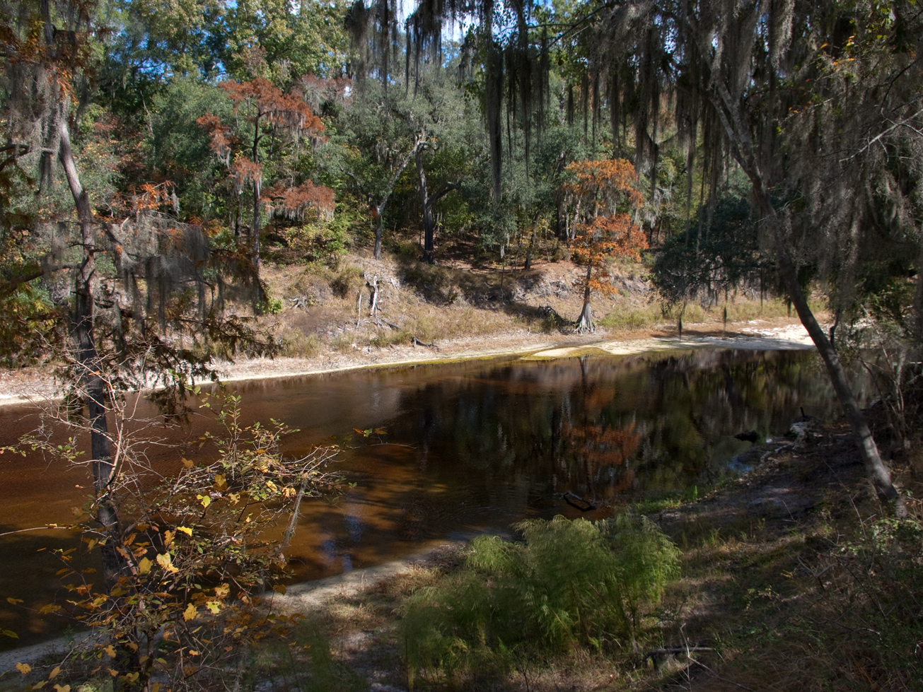
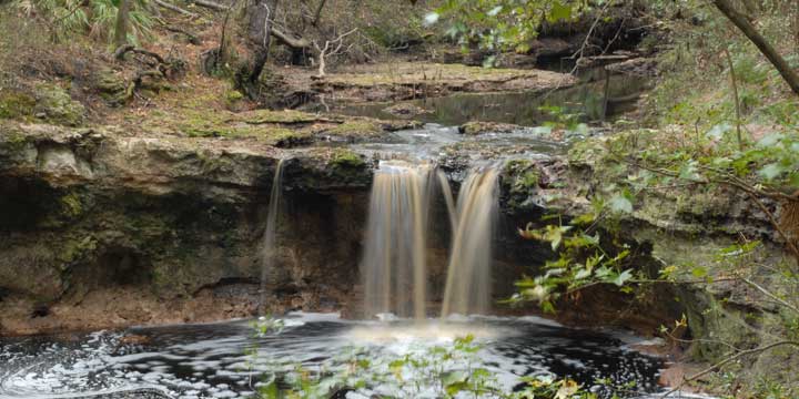
 Scenic Viewing
 -
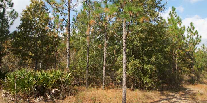
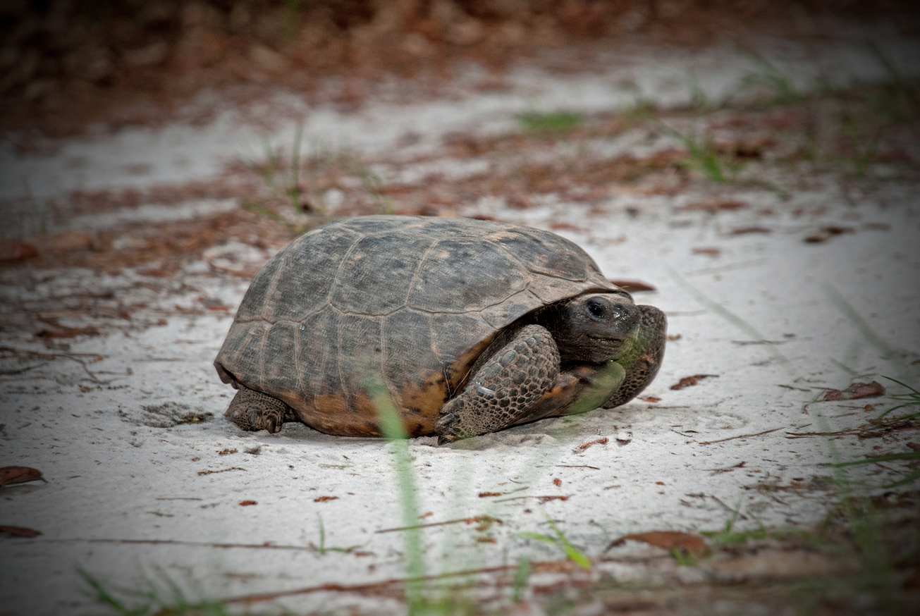
 Wildlife Viewing


